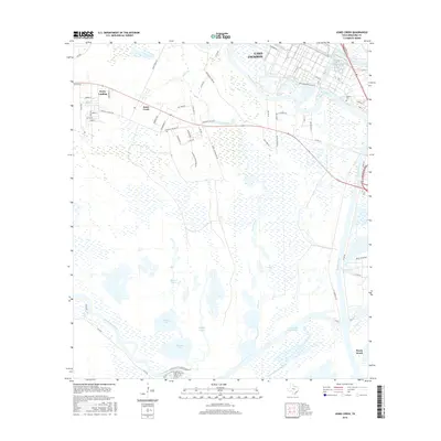
2016 Map of Jones Creek
USGS Topo · Published 2016About this map
The low-lying wetlands and river deltas of Brazoria County dominate this landscape, where the Brazos River and San Bernard River approach the Gulf Coast. The settlement at Jones Creek is bounded by a dense network of residential roads like Stephen F Austin Rd and Durazno Plantation Rd, reflecting the area's transition from historic agricultural tracts to modern coastal communities. In the northeast, the outskirts of Lake Jackson meet industrial infrastructure, while the southern reach of the quadrangle follows the Intracoastal Waterway past McNeal Lake and Pelican Lake toward the shoreline. Genealogists may find interest in the Velasco Cem located near the eastern bend of the river, while the proximity of Bryan Beach and Perry Landing illustrates the area's long-standing connection to both riverine trade and coastal recreation.
Find a feature on this map
60 named features on this map. Tap any name to fly to it.
Don’t see what you’re looking for? This feature index may not catch every label — zoom into the map to look around manually.
Map Details
Editions of this 2016 Jones Creek Map
This is the sole edition of this map. No revisions or reprints were ever made.
Other maps of this area

1943 · Oyster Creek
USGS Topo · 1:31,680

1943 · Jones Creek
USGS Topo · 1:31,680

1943 · Freeport
USGS Topo · 1:31,680

1943 · Cedar Lakes East
USGS Topo · 1:24,000

1943 · Snipe
USGS Topo · 1:31,680

1950 · Houston
USGS Topo · 1:250,000

1951 · Bay City
USGS Topo · 1:250,000

1952 · Cedar Lane NE
USGS Topo · 1:24,000

1952 · Cedar Lakes West
USGS Topo · 1:24,000

1952 · Brazoria
USGS Topo · 1:24,000