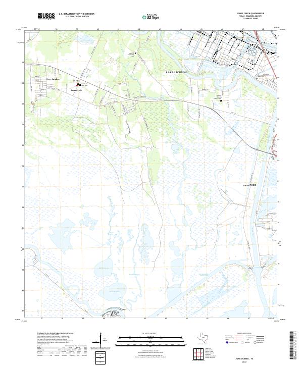
2022 Map of Jones Creek
USGS Topo · Published 2022About this map
The low-lying coastal plains of Brazoria County are defined here by the confluence of the Brazos River and the San Bernard River as they approach the Gulf. The settlement of Jones Creek and the adjacent Perry Landing occupy the higher ground between these waterways, a landscape crisscrossed by historical road traces like Stephen F Austin Rd and Durazno Plantation Rd. The map reveals a high concentration of burial sites that reflect the area's deep family roots, including Gulf Prairie Cem - East, the Oakland Community Cem, and the Eastern Branch Family Cem. Extensive wetlands and bayous dominate the southern half of the quadrangle, where the Intracoastal Waterway and Old Intracoastal Waterway cut through a maze of lakes such as Pelican Lake and McNeal Lake. Industrial activity is centered at the Dow Operations Plant B, situated near the bends of the river system.
Find a feature on this map
61 named features on this map. Tap any name to fly to it.
Don’t see what you’re looking for? This feature index may not catch every label — zoom into the map to look around manually.
Map Details
Editions of this 2022 Jones Creek Map
This is the sole edition of this map. No revisions or reprints were ever made.
Other maps of this area

1943 · Oyster Creek
USGS Topo · 1:31,680

1943 · Jones Creek
USGS Topo · 1:31,680

1943 · Freeport
USGS Topo · 1:31,680

1943 · Cedar Lakes East
USGS Topo · 1:24,000

1943 · Snipe
USGS Topo · 1:31,680

1950 · Houston
USGS Topo · 1:250,000

1951 · Bay City
USGS Topo · 1:250,000

1952 · Cedar Lane NE
USGS Topo · 1:24,000

1952 · Cedar Lakes West
USGS Topo · 1:24,000

1952 · Brazoria
USGS Topo · 1:24,000