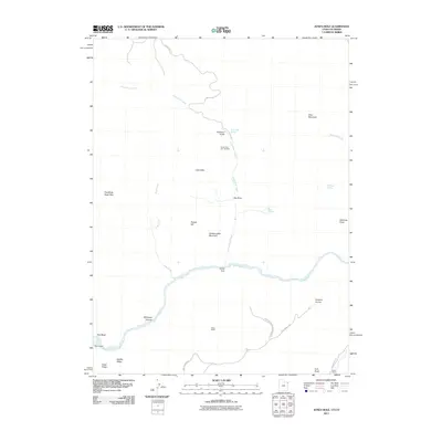
2011 Map of Jones Hole
USGS Topo · Published 2011About this map
Green River carves a deep path through this section of Dinosaur National Monument, marking the convergence of complex geology and high-desert hydrology. The map traces the winding course of Jones Hole Creek as it descends from Jones Hole Springs toward the river, passing the Jones Hole Fish Hatchery. This remote landscape is defined by its dramatic elevation changes, from the heights of Wild Mountain and Hardscrabble Mountain down into the depths of Whirlpool Canyon. Evidence of early settlement and land use persists in labels for Snow Ranch and Chew Ranch, while topographic features like The White Sage Flats and Labyrinths suggest the challenging nature of the terrain. The presence of Park Service Rd and County Rd 156 provides the primary access to these isolated canyonlands and historic ranching sites.
Find a feature on this map
30 named features on this map. Tap any name to fly to it.
Don’t see what you’re looking for? This feature index may not catch every label — zoom into the map to look around manually.
Map Details
Editions of this 2011 Jones Hole Map
This is the sole edition of this map. No revisions or reprints were ever made.
Other maps of this area

1885 · Ashley
USGS Topo · 1:250,000

1907 · Rangely
USGS Topo · 1:125,000

1907 · Jensen
USGS Topo · 1:125,000

1910 · Jensen
USGS Topo · 1:125,000

1910 · Rangely
USGS Topo · 1:125,000

1954 · Hells Canyon
USGS Topo · 1:24,000

1954 · Canyon of Lodore South
USGS Topo · 1:24,000

1954 · Canyon of Lodore North
USGS Topo · 1:24,000

1954 · Vernal
USGS Topo · 1:250,000

1955 · Island Park
USGS Topo · 1:24,000