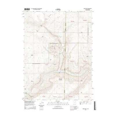
2014 Map of Jones Hole
USGS Topo · Published 2014About this map
The Green River carves through the heart of the Dinosaur National Monument in this survey of the high plateau region where the borders of Utah and Colorado meet. The landscape is defined by massive topographic relief, dominated by the towering heights of Diamond Mtn and Wild Mtn. The hydrology of the area is particularly distinct, with Jones Hole Cr fed by Jones Hole Springs and other water sources such as Hackings Springs and Burnt Springs providing rare moisture in an arid environment. Notable geological and navigational landmarks such as the Island Park Fault, the narrow descent of Diamond Gulch, and the intricate terrain of the Labyrinths highlight the complex erosion patterns of the Uintah and Moffat County borderlands. Access remains sparse, primarily via the Wild Mountain Rd and the Old Harpers Corner Rd, reflecting the wilderness character of the Whirlpool Canyon vicinity.
Find a feature on this map
39 named features on this map. Tap any name to fly to it.
Don’t see what you’re looking for? This feature index may not catch every label — zoom into the map to look around manually.
Map Details
Editions of this 2014 Jones Hole Map
This is the sole edition of this map. No revisions or reprints were ever made.
Other maps of this area

1885 · Ashley
USGS Topo · 1:250,000

1907 · Rangely
USGS Topo · 1:125,000

1907 · Jensen
USGS Topo · 1:125,000

1910 · Jensen
USGS Topo · 1:125,000

1910 · Rangely
USGS Topo · 1:125,000

1954 · Hells Canyon
USGS Topo · 1:24,000

1954 · Canyon of Lodore South
USGS Topo · 1:24,000

1954 · Canyon of Lodore North
USGS Topo · 1:24,000

1954 · Vernal
USGS Topo · 1:250,000

1955 · Island Park
USGS Topo · 1:24,000