Loading...
Loading map...2024 Map of Jonestown
USGS Topo · Published 2024About this map
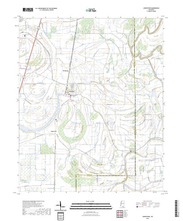
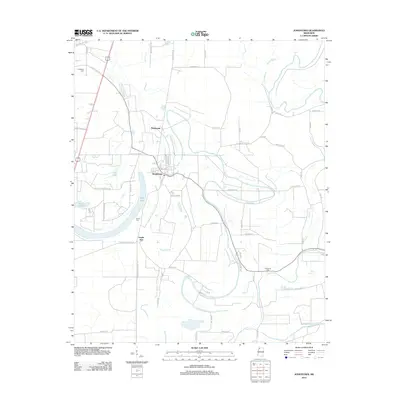
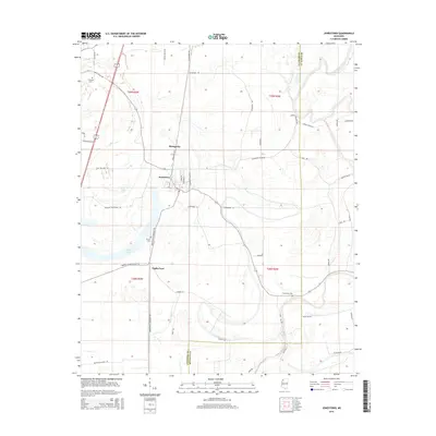
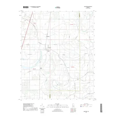
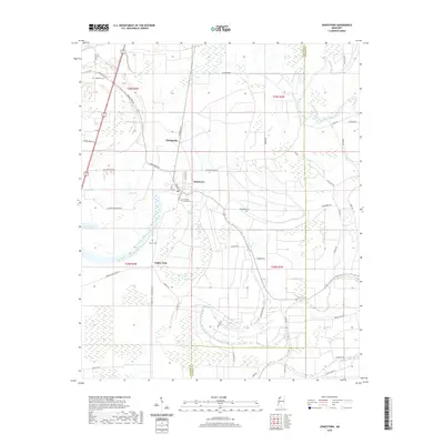
The Jonestown settlement serves as the focal point of this Mississippi Delta landscape, situated where Main St and Jones Ave form the local core. The terrain is defined by the winding course of the Coldwater River and a series of oxbow features and wetland depressions typical of the region, including Alcorn Brake, Hull Brake, and the crescent-shaped Swan Lake. Near the center of the sheet, the University of Jonestown stands as a notable institutional landmark.
Find a feature on this map
58 named features on this map. Tap any name to fly to it.
Don’t see what you’re looking for? This feature index may not catch every label — zoom into the map to look around manually.
Map Details
Date Portrayed2024
Date Published2024
PublisherU.S. Geological Survey
Map TypeTopographic
Scale1:24,000
Physical Dimensions24 x 29 inches
Editions of this 2024 Jonestown Map
This is the sole edition of this map. No revisions or reprints were ever made.
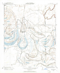
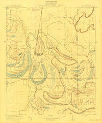
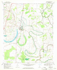
Historical Maps of Jonestown Through Time
8 maps found
Featured Locations
Source Details
SourceU.S. Geological Survey
CopyrightPublic Domain