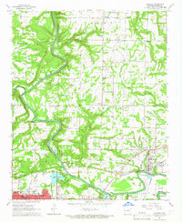
1965 Map of Judsonia
USGS Topo · Published 1966About this map
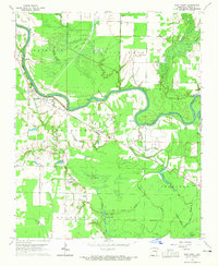
The Little Red River defines the landscape of central White County in this mid-1960s survey, winding southward past a network of rural settlements and growing municipal centers. The city of Searcy occupies the southwest corner, showing the city's street grid and the Oakgrove Cem near its outskirts. To the east, the Missouri Pacific railroad corridor anchors the communities of Judsonia and Kensett, illustrating the transport-dependent economy of the era.
Find a feature on this map
49 named features on this map. Tap any name to fly to it.
Don’t see what you’re looking for? This feature index may not catch every label — zoom into the map to look around manually.
Map Details
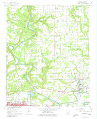
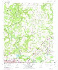
Editions of this 1965 Judsonia Map
3 editions found
Other maps of this area

1932 · Kensett
USGS Topo · 1:62,500

1935 · Kensett
USGS Topo · 1:62,500

1935 · Bald Knob
USGS Topo · 1:62,500

1953 · Memphis
USGS Topo · 1:250,000

1956 · Memphis
USGS Topo · 1:250,000

1962 · Pangburn
USGS Topo · 1:24,000

1962 · Letona
USGS Topo · 1:24,000

1963 · Garner
USGS Topo · 1:24,000
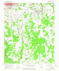
1964 · Kensett
USGS Topo · 1:24,000
1964 · West Point
USGS Topo · 1:24,000