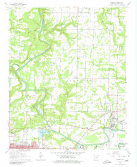
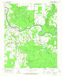
1965 Map of Judsonia
USGS Topo · Published 1980About this map
Judsonia and Kensett anchor the eastern edge of this mid-century survey, where the Little Red River cuts through the White County landscape. The river's influence is clear in the local infrastructure, from the Upper Dam and Lower Dam to the Waterworks Reservoirs and various Sewage Disposal Ponds serving the growing communities. This era reveals a well-established network of rural institutions, including Central High Sch and several country churches like Bethlehem Cemetery and Holly Springs Ch. To the southwest, the northern outskirts of Searcy appear near Backbone Ridge, with landmarks like the Courthouse and Oakgrove Cem marking the town's footprint. The industrial character of the region is reflected in numerous gravel pits and the Missouri Pacific railroad line, while recreational spots like Wyldewood Camp and Friendly Acres Park show the mid-century social life of the area.
Find a feature on this map
60 named features on this map. Tap any name to fly to it.
Don’t see what you’re looking for? This feature index may not catch every label — zoom into the map to look around manually.
Map Details
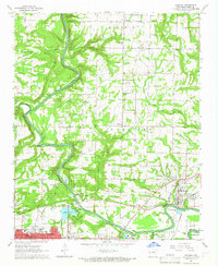
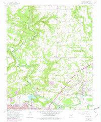
Editions of this 1965 Judsonia Map
3 editions found
Other maps of this area

1932 · Kensett
USGS Topo · 1:62,500

1935 · Kensett
USGS Topo · 1:62,500

1935 · Bald Knob
USGS Topo · 1:62,500

1953 · Memphis
USGS Topo · 1:250,000

1956 · Memphis
USGS Topo · 1:250,000

1962 · Pangburn
USGS Topo · 1:24,000

1962 · Letona
USGS Topo · 1:24,000

1963 · Garner
USGS Topo · 1:24,000
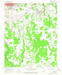
1964 · Kensett
USGS Topo · 1:24,000
1964 · West Point
USGS Topo · 1:24,000