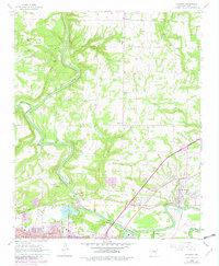
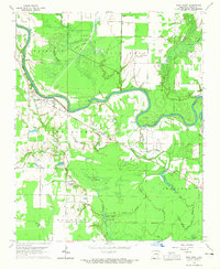
1965 Map of Judsonia
USGS Topo · Published 1982About this map
The Little Red River cuts a winding path through this portion of White County, anchoring the development of Judsonia and the northern outskirts of Searcy. The landscape shows a mix of mid-century infrastructure and rural community centers, characterized by a high density of country churches such as Clearwater Ch, Bethel Ch, and Ballew Ch. Transportation and commerce are centered on the Missouri Pacific railroad corridor and the regional hubs, where civic life is marked by the presence of a Courthouse, Central High Sch, and recreational sites like Kiwani Park.
Find a feature on this map
43 named features on this map. Tap any name to fly to it.
Don’t see what you’re looking for? This feature index may not catch every label — zoom into the map to look around manually.
Map Details
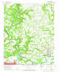
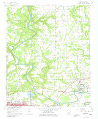
Editions of this 1965 Judsonia Map
3 editions found
Other maps of this area

1932 · Kensett
USGS Topo · 1:62,500

1935 · Kensett
USGS Topo · 1:62,500

1935 · Bald Knob
USGS Topo · 1:62,500

1953 · Memphis
USGS Topo · 1:250,000

1956 · Memphis
USGS Topo · 1:250,000

1962 · Pangburn
USGS Topo · 1:24,000

1962 · Letona
USGS Topo · 1:24,000

1963 · Garner
USGS Topo · 1:24,000
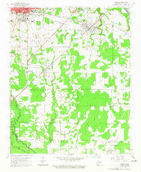
1964 · Kensett
USGS Topo · 1:24,000
1964 · West Point
USGS Topo · 1:24,000