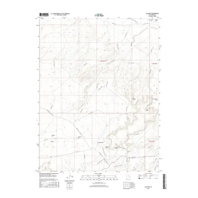
2017 Map of Jug Rock
USGS Topo · Published 2017About this map
Jug Rock and its adjacent Jug Rock Flat anchor this landscape within the Big Mesa Area. The terrain is defined by a dense network of modern recreational and historical primitive routes, including Dubinky Well Rd Hey Joe and the Moab to Boulder Town road. Notable landmarks such as Determination Towers and the Tusher Tunl highlight the intersection of geological formations and human exploration.
Find a feature on this map
37 named features on this map. Tap any name to fly to it.
Don’t see what you’re looking for? This feature index may not catch every label — zoom into the map to look around manually.
Map Details
Editions of this 2017 Jug Rock Map
This is the sole edition of this map. No revisions or reprints were ever made.
Other maps of this area

1885 · La Sal
USGS Topo · 1:250,000

1951 · The Knoll
USGS Topo · 1:62,500

1952 · Moab 4 NW
USGS Topo · 1:24,000

1952 · Moab 3 NE
USGS Topo · 1:24,000

1952 · Moab 3 SE
USGS Topo · 1:24,000

1952 · Moab 3 SW
USGS Topo · 1:24,000

1952 · Moab 4 SW
USGS Topo · 1:24,000

1952 · Moab 3 NW
USGS Topo · 1:24,000

1956 · Moab
USGS Topo · 1:250,000

1958 · Crescent Junction
USGS Topo · 1:62,500