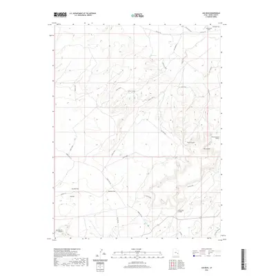
2020 Map of Jug Rock
USGS Topo · Published 2020About this map
Canyonlands Field occupies the northeastern corner of this Grand County landscape, where the high desert terrain transitions into a complex network of canyons and mesas. The geography is defined by significant landmarks like the namesake Jug Rock and the prominent Determination Towers, which overlook the deep incisions of Tusher Canyon and Mill Canyon. The map reveals a land structured by ancient drainage patterns and modern access, with roads like Blue Hills Rd and Dubinky Well Rd navigating around the expansive Jug Rock Flat and Bartlett Flat.
Find a feature on this map
26 named features on this map. Tap any name to fly to it.
Don’t see what you’re looking for? This feature index may not catch every label — zoom into the map to look around manually.
Map Details
Editions of this 2020 Jug Rock Map
This is the sole edition of this map. No revisions or reprints were ever made.
Other maps of this area

1885 · La Sal
USGS Topo · 1:250,000

1951 · The Knoll
USGS Topo · 1:62,500

1952 · Moab 4 NW
USGS Topo · 1:24,000

1952 · Moab 3 NE
USGS Topo · 1:24,000

1952 · Moab 3 SE
USGS Topo · 1:24,000

1952 · Moab 3 SW
USGS Topo · 1:24,000

1952 · Moab 4 SW
USGS Topo · 1:24,000

1952 · Moab 3 NW
USGS Topo · 1:24,000

1956 · Moab
USGS Topo · 1:250,000

1958 · Crescent Junction
USGS Topo · 1:62,500