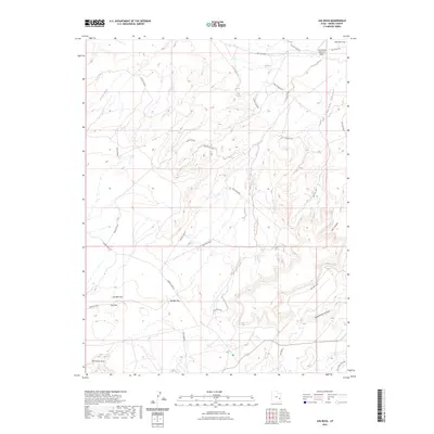
2023 Map of Jug Rock
USGS Topo · Published 2023About this map
Canyonlands Regional Airport anchors the northeastern corner of this arid landscape, where the modern transport hub meets the ancient geomorphology of the Mancos Desert. The terrain is defined by a complex network of seasonal drainages, including Tenmile Wash and Bartlett Wash, which have carved deep paths through the high plateaus of the Big Mesa Area. The namesake Jug Rock stands near Jug Rock Flat and Dubinky Flat, marking a distinct topographical transition.
Find a feature on this map
27 named features on this map. Tap any name to fly to it.
Don’t see what you’re looking for? This feature index may not catch every label — zoom into the map to look around manually.
Map Details
Editions of this 2023 Jug Rock Map
This is the sole edition of this map. No revisions or reprints were ever made.
Other maps of this area

1885 · La Sal
USGS Topo · 1:250,000

1951 · The Knoll
USGS Topo · 1:62,500

1952 · Moab 4 NW
USGS Topo · 1:24,000

1952 · Moab 3 NE
USGS Topo · 1:24,000

1952 · Moab 3 SE
USGS Topo · 1:24,000

1952 · Moab 3 SW
USGS Topo · 1:24,000

1952 · Moab 4 SW
USGS Topo · 1:24,000

1952 · Moab 3 NW
USGS Topo · 1:24,000

1956 · Moab
USGS Topo · 1:250,000

1958 · Crescent Junction
USGS Topo · 1:62,500