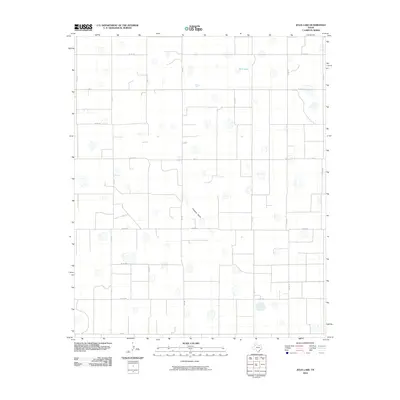
2010 Map of Julia Lake
USGS Topo · Published 2010About this map
Julia Lake sits in the northern reaches of this High Plains landscape, characterizing a region marked by ephemeral playa lakes and subtle drainage patterns. The terrain is defined by the gentle depression of Crawfish Draw, which meanders through a strictly organized grid of agricultural corridors. This survey provides a clear view of the rural infrastructure in Hale County at the start of the 21st century, where farm-to-market roads like Fm 37 and Fm 400 serve as the primary arteries for local transit and commerce. The map illustrates a highly engineered agricultural environment, with local thoroughfares such as Way Rd and Co Rd U segmenting the land into precise quadrants, reflecting the enduring legacy of the rectangular survey system in the Texas Panhandle.
Find a feature on this map
18 named features on this map. Tap any name to fly to it.
Don’t see what you’re looking for? This feature index may not catch every label — zoom into the map to look around manually.
Map Details
Editions of this 2010 Julia Lake Map
This is the sole edition of this map. No revisions or reprints were ever made.
Other maps of this area

1954 · Lubbock
USGS Topo · 1:250,000

1954 · Plainview
USGS Topo · 1:250,000

1957 · Abernathy
USGS Topo · 1:62,500

1958 · Plainview
USGS Topo · 1:250,000

1965 · Petersburg
USGS Topo · 1:24,000

1965 · Heckville
USGS Topo · 1:24,000

1968 · Happy Union
USGS Topo · 1:24,000

1968 · Barwise
USGS Topo · 1:24,000

1968 · Plainview SE
USGS Topo · 1:24,000

1968 · Julia Lake
USGS Topo · 1:24,000