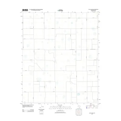
2012 Map of Julia Lake
USGS Topo · Published 2012About this map
Julia Lake and numerous ephemeral basins dot this high plains landscape of Hale County in the early twenty-first century. The terrain is defined by a rigorous orthagonal grid of rural infrastructure, where an extensive network of county roads like Co Rd-225 and Co Rd-245 divide the land into neat square sections. This layout reflects the long-standing agricultural organization of the Texas Panhandle, punctuated by major transportation arteries such as FM-400 and Farm-To-Market Road 37. The concentration of small depressions across the survey indicates a landscape of playa lakes, which are critical for groundwater recharge in this semi-arid region. These natural features, along with the strictly partitioned road system, illustrate the intersection of a unique geological environment with the systematic land-use patterns of modern West Texas farming and ranching operations.
Find a feature on this map
20 named features on this map. Tap any name to fly to it.
Don’t see what you’re looking for? This feature index may not catch every label — zoom into the map to look around manually.
Map Details
Editions of this 2012 Julia Lake Map
This is the sole edition of this map. No revisions or reprints were ever made.
Other maps of this area

1954 · Lubbock
USGS Topo · 1:250,000

1954 · Plainview
USGS Topo · 1:250,000

1957 · Abernathy
USGS Topo · 1:62,500

1958 · Plainview
USGS Topo · 1:250,000

1965 · Petersburg
USGS Topo · 1:24,000

1965 · Heckville
USGS Topo · 1:24,000

1968 · Happy Union
USGS Topo · 1:24,000

1968 · Barwise
USGS Topo · 1:24,000

1968 · Plainview SE
USGS Topo · 1:24,000

1968 · Julia Lake
USGS Topo · 1:24,000