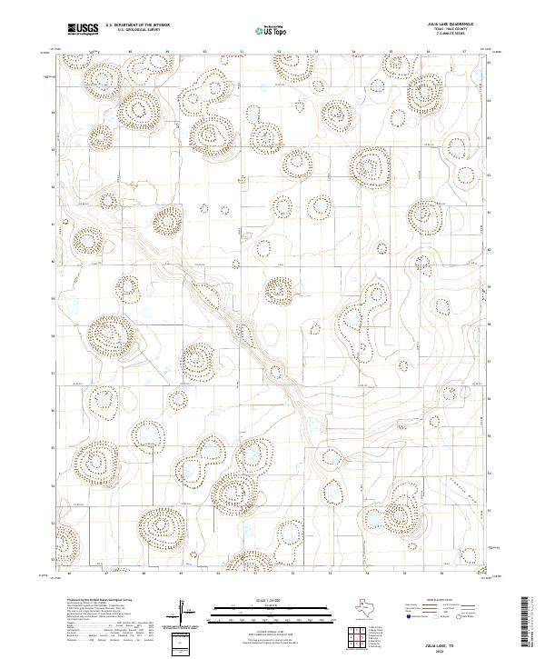
2022 Map of Julia Lake
USGS Topo · Published 2022About this map
The High Plains landscape of Hale County is defined here by a series of shallow depressions and intermittent drainages typical of the Texas Panhandle. Centered around the eponymous Julia Lake, this map documents a rural agricultural region primarily structured by a precise grid of county roads and farm-to-market routes. The terrain is characterized by subtle elevation changes and numerous playa lakes, which serve as critical catchment points in this semi-arid environment. To the southeast, the landscape is carved by Crawfish Draw, a seasonal watercourse that drains the surrounding fields. The lack of concentrated settlements highlights the expansive nature of West Texas farming, where infrastructure like FM 37 and FM 400 provides the primary links between isolated farmsteads and larger regional hubs.
Find a feature on this map
18 named features on this map. Tap any name to fly to it.
Don’t see what you’re looking for? This feature index may not catch every label — zoom into the map to look around manually.
Map Details
Editions of this 2022 Julia Lake Map
This is the sole edition of this map. No revisions or reprints were ever made.
Other maps of this area

1954 · Lubbock
USGS Topo · 1:250,000

1954 · Plainview
USGS Topo · 1:250,000

1957 · Abernathy
USGS Topo · 1:62,500

1958 · Plainview
USGS Topo · 1:250,000

1965 · Petersburg
USGS Topo · 1:24,000

1965 · Heckville
USGS Topo · 1:24,000

1968 · Happy Union
USGS Topo · 1:24,000

1968 · Barwise
USGS Topo · 1:24,000

1968 · Plainview SE
USGS Topo · 1:24,000

1968 · Julia Lake
USGS Topo · 1:24,000