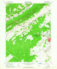
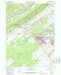
1962 Map of Julian
USGS Topo · Published 1965About this map
Bald Eagle Mountain and the Nittany Valley dominate this early 1960s landscape, illustrating the geographical division between the wooded ridges and the burgeoning academic and residential hub of State College. The map captures the extensive campus of The Pennsylvania State University during a period of significant post-war expansion, showing nearby residential developments like Park Forest Village and Overlook Heights beginning to fill the valley floor.
Find a feature on this map
50 named features on this map. Tap any name to fly to it.
Don’t see what you’re looking for? This feature index may not catch every label — zoom into the map to look around manually.
Map Details
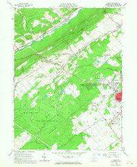
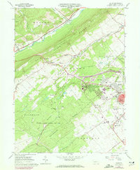
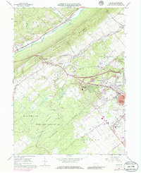
Editions of this 1962 Julian Map
5 editions found
Other maps of this area

1908 · Bellefonte
USGS Topo · 1:62,500

1909 · Bellefonte
USGS Topo · 1:62,500

1919 · Menno
USGS Topo · 1:62,500

1922 · Philipsburg
USGS Topo · 1:62,500

1923 · Tyrone
USGS Topo · 1:62,500

1929 · Tyrone
USGS Topo · 1:48,000

1933 · Tyrone
USGS Topo · 1:62,500

1935 · Allensville
USGS Topo · 1:62,500

1938 · Allensville
USGS Topo · 1:62,500

1939 · Philipsburg
USGS Topo · 1:62,500