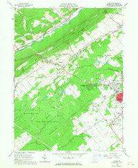
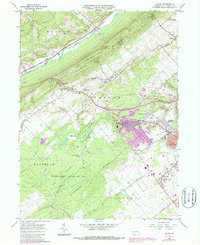
1962 Map of Julian
USGS Topo · Published 1968About this map
State College and the neighboring The Pennsylvania State University anchor the southeastern corner of this Central Pennsylvania landscape, showing the mid-century expansion of residential areas like Park Forest Village and Overlook Heights. The industrial and scientific character of the region is evident through specialized sites such as the Ionosphere Research Station and the State College Air Depot. The terrain is defined by the heavy ridges of Bald Eagle Mountain and Nittany Mountain, with the Bellefonte Central Railroad winding through the valleys to connect small settlements like Waddle and Scotia. In the more remote western reaches, The Barrens and State Game Lands No 176 provide a stark contrast to the growing university town. For genealogists, the map preserves the location of many family landmarks, including Henderson Cem and Grays Ch.
Find a feature on this map
55 named features on this map. Tap any name to fly to it.
Don’t see what you’re looking for? This feature index may not catch every label — zoom into the map to look around manually.
Map Details
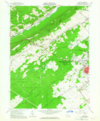
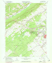
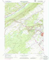
Editions of this 1962 Julian Map
5 editions found
Other maps of this area

1908 · Bellefonte
USGS Topo · 1:62,500

1909 · Bellefonte
USGS Topo · 1:62,500

1919 · Menno
USGS Topo · 1:62,500

1922 · Philipsburg
USGS Topo · 1:62,500

1923 · Tyrone
USGS Topo · 1:62,500

1929 · Tyrone
USGS Topo · 1:48,000

1933 · Tyrone
USGS Topo · 1:62,500

1935 · Allensville
USGS Topo · 1:62,500

1938 · Allensville
USGS Topo · 1:62,500

1939 · Philipsburg
USGS Topo · 1:62,500