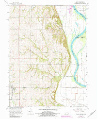
1966 Map of Julian
USGS Topo · Published 1984About this map
The Missouri River defines the eastern boundary of this mid-1960s landscape, winding past Schemmel Island and the tri-state junction where Nebraska, Iowa, and Missouri meet. This area reflects a quintessential Midwestern rural layout, anchored by the settlement of Julian in the southwest corner and the river-adjacent Minersville to the north. The interior is defined by a dense network of country schools, including Pleasant Grove Sch, Hazel Dell Sch, Harmony Sch, and Camp Creek Sch, which served the scattered farmsteads before district consolidation. Transport relies on the Missouri Pacific and Burlington Northern railroads, which parallel the river and the inland hills. Local heritage is further marked by religious and memorial sites such as St Bernards Ch and the Camp Creek Cem, positioned near the confluence of the North Branch and South Branch Camp Creek.
Find a feature on this map
27 named features on this map. Tap any name to fly to it.
Don’t see what you’re looking for? This feature index may not catch every label — zoom into the map to look around manually.
Map Details
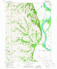
Editions of this 1966 Julian Map
2 editions found
Other maps of this area

1907 · Nebraska City
USGS Topo · 1:62,500

1915 · Nemaha
USGS Topo · 1:62,500

1915 · Howe
USGS Topo · 1:62,500

1939 · Hamburg
USGS Topo · 1:62,500

1939 · Nemaha
USGS Topo · 1:62,500

1941 · Hamburg
USGS Topo · 1:62,500

1949 · Nemaha
USGS Topo · 1:62,500

1955 · Nebraska City
USGS Topo · 1:250,000

1957 · Nebraska City
USGS Topo · 1:250,000

1958 · Nebraska City
USGS Topo · 1:250,000