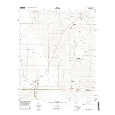
2014 Map of Junction City
USGS Topo · Published 2014About this map
Junction City sits directly on the border between Arkansas and Louisiana, serving as the primary hub for a landscape defined by timber and energy. The boundary between Union County, Arkansas, and the parishes of Claiborne and Union in Louisiana bisects the settlement, with E Stateline Rd marking the divide. Local genealogy is well-preserved through numerous family and community burial sites, including Ebenezer Cem, Morgan Wade Cem, and Graceland Cem.
Find a feature on this map
77 named features on this map. Tap any name to fly to it.
Don’t see what you’re looking for? This feature index may not catch every label — zoom into the map to look around manually.
Map Details
Editions of this 2014 Junction City Map
This is the sole edition of this map. No revisions or reprints were ever made.
Other maps of this area

1927 · El Dorado
USGS Topo · 1:62,500

1930 · El Dorado
USGS Topo · 1:62,500

1951 · Summerfield
USGS Topo · 1:62,500

1951 · Bernice
USGS Topo · 1:62,500

1951 · El Dorado
USGS Topo · 1:62,500

1953 · El Dorado
USGS Topo · 1:250,000

1955 · Shreveport
USGS Topo · 1:250,000

1956 · Shreveport
USGS Topo · 1:250,000

1957 · El Dorado
USGS Topo · 1:250,000

1958 · El Dorado
USGS Topo · 1:250,000