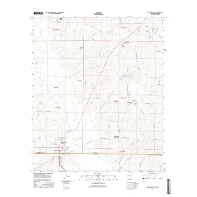
2017 Map of Junction City
USGS Topo · Published 2017About this map
Junction City sits directly on the border between Arkansas and Louisiana, anchoring a landscape where several parishes and counties meet, including Claiborne Parish, Union Parish, and Union County. The topography is defined by the winding course of Little Cornie Bayou and its numerous tributaries such as Walker Br and Indian Cr. This 2017 survey reveals a high density of small family and community burial grounds, illustrating the deeply rooted genealogical history of the area.
Find a feature on this map
112 named features on this map. Tap any name to fly to it.
Don’t see what you’re looking for? This feature index may not catch every label — zoom into the map to look around manually.
Map Details
Editions of this 2017 Junction City Map
This is the sole edition of this map. No revisions or reprints were ever made.
Other maps of this area

1927 · El Dorado
USGS Topo · 1:62,500

1930 · El Dorado
USGS Topo · 1:62,500

1951 · Summerfield
USGS Topo · 1:62,500

1951 · Bernice
USGS Topo · 1:62,500

1951 · El Dorado
USGS Topo · 1:62,500

1953 · El Dorado
USGS Topo · 1:250,000

1955 · Shreveport
USGS Topo · 1:250,000

1956 · Shreveport
USGS Topo · 1:250,000

1957 · El Dorado
USGS Topo · 1:250,000

1958 · El Dorado
USGS Topo · 1:250,000