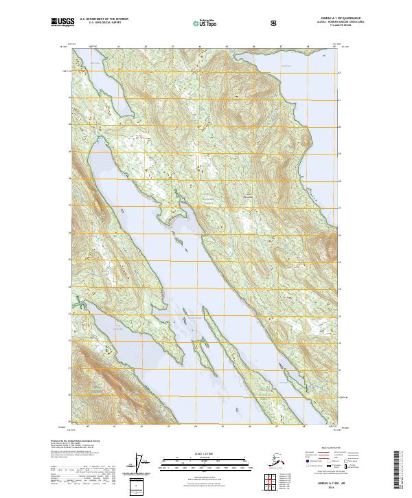
2024 Map of Juneau A-1 SW
USGS Topo · Published 2024About this map
The Glass Peninsula divides the maritime landscape of this Admiralty Island survey, a region defined by its protected coastal wilderness and complex tidal inlets. Much of the land is managed under the Kootznoowoo Wilderness and the Admiralty Island National Monument, preserving a portion of the broader Tongass National Forest. The geography is dominated by the long, narrow reach of Seymour Canal, which separates the peninsula from the main body of the island.
Find a feature on this map
16 named features on this map. Tap any name to fly to it.
Don’t see what you’re looking for? This feature index may not catch every label — zoom into the map to look around manually.
Map Details
Editions of this 2024 Juneau A-1 SW Map
This is the sole edition of this map. No revisions or reprints were ever made.
Other maps of this area

1948 · Sitka D-1
USGS Topo · 1:63,360

1948 · Sitka D-2
USGS Topo · 1:63,360

1951 · Juneau
USGS Topo · 1:250,000

1951 · Juneau A-2
USGS Topo · 1:63,360

1951 · Sitka
USGS Topo · 1:250,000

1951 · Juneau A-1
USGS Topo · 1:63,360

1951 · Sitka D-1
USGS Topo · 1:63,360

1951 · Sitka D-2
USGS Topo · 1:63,360

1952 · Sitka
USGS Topo · 1:250,000

1954 · Juneau A-1
USGS Topo · 1:63,360