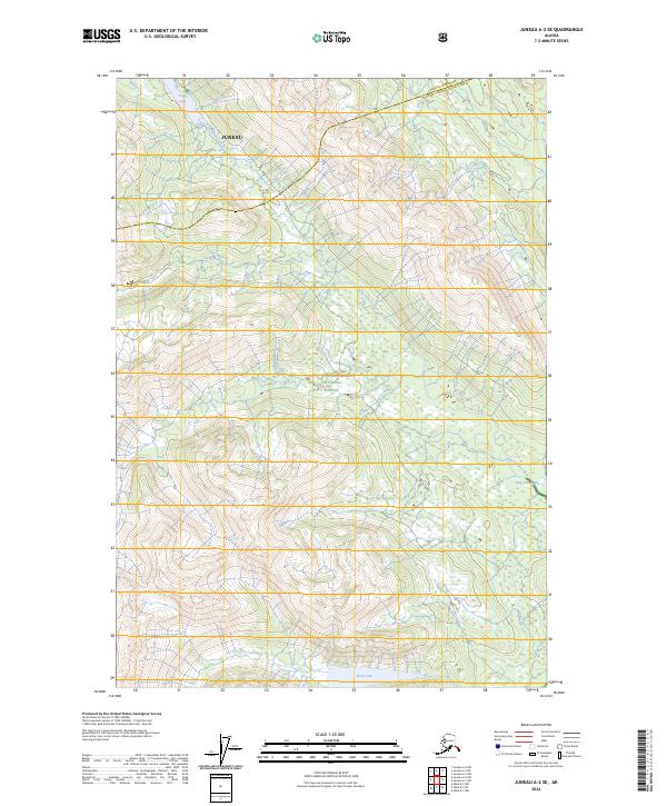
2024 Map of Juneau A-2 SE
USGS Topo · Published 2024About this map
Admiralty Island National Monument defines the character of this southeastern Alaska landscape, where the Kootznoowoo Wilderness preserves an intricate network of temperate rainforest and watershed. The hydrology of the region is centered on the King Salmon River, which flows through the heart of the Tongass National Forest before reaching King Salmon Bay. This modern survey illustrates the proximity of Juneau's administrative boundaries to the wild interior of Admiralty Island. Inland, notable water bodies such as Young Lake, Admiralty Creek, and Slide Lake suggest a landscape shaped by glacial activity and high-volume seasonal runoff. The convergence of these water systems within protected federal lands highlights the area's role as a vital habitat and a significant geographic segment of the Alexander Archipelago.
Find a feature on this map
17 named features on this map. Tap any name to fly to it.
Don’t see what you’re looking for? This feature index may not catch every label — zoom into the map to look around manually.
Map Details
Editions of this 2024 Juneau A-2 SE Map
This is the sole edition of this map. No revisions or reprints were ever made.
Other maps of this area

1948 · Sitka D-1
USGS Topo · 1:63,360

1948 · Sitka D-2
USGS Topo · 1:63,360

1951 · Juneau
USGS Topo · 1:250,000

1951 · Juneau A-2
USGS Topo · 1:63,360

1951 · Sitka
USGS Topo · 1:250,000

1951 · Juneau A-1
USGS Topo · 1:63,360

1951 · Sitka D-1
USGS Topo · 1:63,360

1951 · Sitka D-2
USGS Topo · 1:63,360

1952 · Sitka
USGS Topo · 1:250,000

1954 · Juneau A-1
USGS Topo · 1:63,360