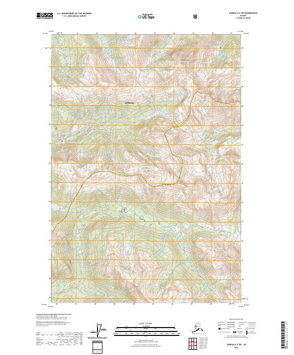
2024 Map of Juneau A-2 SW
USGS Topo · Published 2024About this map
Admiralty Island National Monument dominates this coastal Alaska landscape, where high mountain peaks and dense forest meet the drainage of the King Salmon River. The region is defined by its federal protections, with the Kootznoowoo Wilderness and Tongass National Forest covering the majority of the terrain. One of the few signs of human infrastructure is the Greens Creek "B" Road, which provides access through the northern portion of the monument near Greens Creek. High-elevation landmarks like Eagle Peak stand over a network of townships and ranges that stretch across the Juneau Borough Hoonah-Angoon Census Area. This map documents the intersection of industrial access and preserved wilderness in the early twenty-first century.
Find a feature on this map
15 named features on this map. Tap any name to fly to it.
Don’t see what you’re looking for? This feature index may not catch every label — zoom into the map to look around manually.
Map Details
Editions of this 2024 Juneau A-2 SW Map
This is the sole edition of this map. No revisions or reprints were ever made.
Other maps of this area

1948 · Juneau A-3
USGS Topo · 1:63,360

1948 · Sitka D-3
USGS Topo · 1:63,360

1948 · Sitka D-2
USGS Topo · 1:63,360

1950 · Juneau A-3
USGS Topo · 1:63,360

1951 · Juneau
USGS Topo · 1:250,000

1951 · Juneau A-2
USGS Topo · 1:63,360

1951 · Sitka
USGS Topo · 1:250,000

1951 · Sitka D-3
USGS Topo · 1:63,360

1951 · Sitka D-2
USGS Topo · 1:63,360

1952 · Sitka
USGS Topo · 1:250,000