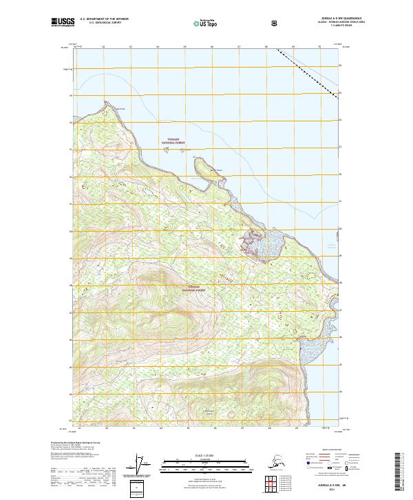
2021 Map of Juneau A-5 NW
USGS Topo · Published 2021About this map
Chichagof Island serves as the backdrop for this coastal survey of the Hoonah-Angoon Census Area, dominated by the dense woodlands of the Tongass National Forest. The landscape is defined by its maritime interfaces, featuring prominent landmarks like Eagle Point in the northwest and Burger Point overlooking Flynn Cove. Small islands like Harry Island dot the coastline, while Gedney Channel provides a passage on the eastern edge of the sheet.
Find a feature on this map
17 named features on this map. Tap any name to fly to it.
Don’t see what you’re looking for? This feature index may not catch every label — zoom into the map to look around manually.
Map Details
Editions of this 2021 Juneau A-5 NW Map
This is the sole edition of this map. No revisions or reprints were ever made.
Other maps of this area

1948 · Juneau B-6
USGS Topo · 1:63,360

1948 · Juneau B-5
USGS Topo · 1:63,360

1950 · Juneau B-5
USGS Topo · 1:63,360

1951 · Juneau
USGS Topo · 1:250,000

1951 · Juneau A-6
USGS Topo · 1:63,360

1951 · Juneau A-5
USGS Topo · 1:63,360

1962 · Juneau
USGS Topo · 1:250,000
1994 · Juneau A-5
USGS Topo · 1:63,360
2000 · Juneau A-6
USGS Topo · 1:63,360
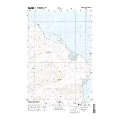
2015 · Juneau A-5 NW
USGS Topo · 1:25,000