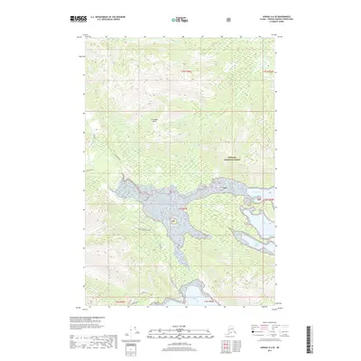
2017 Map of Juneau A-6 SE
USGS Topo · Published 2017About this map
Chichagof Island serves as the foundation for this survey of the Alaskan coastline within the Tongass National Forest. The landscape is defined by the deep indentations of the sea, most notably Neka Bay which branches into North Bight and South Bight. The interior terrain is marked by a network of specialized roads and spurs that suggest localized resource management or maritime access points. Watercourses like the Neka River and Humpback Creek drain the upland slopes toward the coast, where Eight-Fathom Bight provides a sheltered harbor. The presence of named locations such as 8 Fathom Camp and specifically designated routes like Alder Avenue and the Sore Shoulder Spur indicate a working landscape managed under federal forest jurisdiction during this period.
Find a feature on this map
23 named features on this map. Tap any name to fly to it.
Don’t see what you’re looking for? This feature index may not catch every label — zoom into the map to look around manually.
Map Details
Editions of this 2017 Juneau A-6 SE Map
This is the sole edition of this map. No revisions or reprints were ever made.
Other maps of this area

1948 · Sitka D-5
USGS Topo · 1:63,360

1948 · Sitka D-6
USGS Topo · 1:63,360

1951 · Juneau
USGS Topo · 1:250,000

1951 · Juneau A-6
USGS Topo · 1:63,360

1951 · Juneau A-5
USGS Topo · 1:63,360

1951 · Sitka
USGS Topo · 1:250,000

1951 · Sitka D-6
USGS Topo · 1:63,360

1951 · Sitka D-5
USGS Topo · 1:63,360

1952 · Sitka
USGS Topo · 1:250,000

1962 · Juneau
USGS Topo · 1:250,000