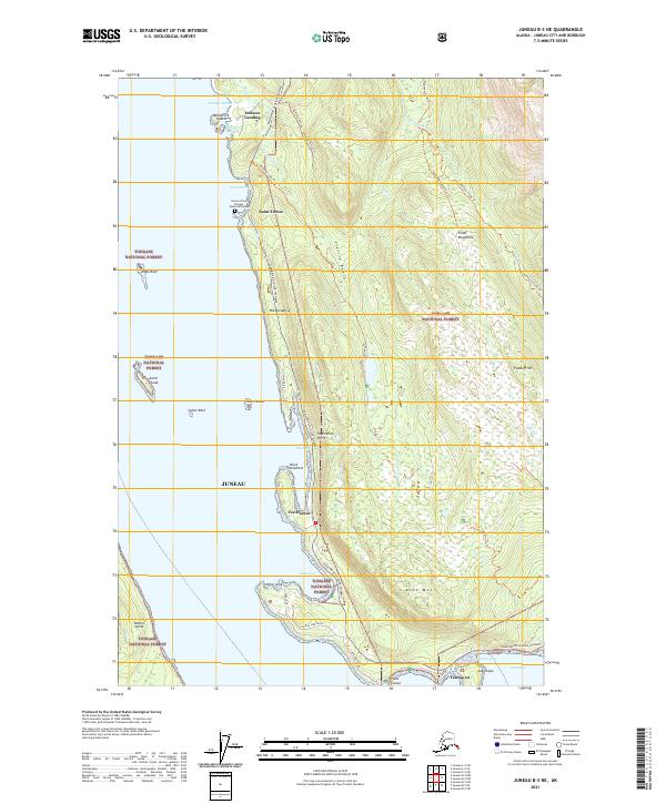
2021 Map of Juneau B-3 NE
USGS Topo · Published 2021About this map
Saint Terese and the Shrine of Saint Therese - Memorial Garden occupy a prominent peninsula along this coastline north of Juneau. The landscape is defined by the intersection of the Tongass National Forest and a series of harbors and coves, including Pearl Harbor, Tee Harbor, and Amalga Harbor. Inland, the Coast Mountains rise sharply, marked by elevations like Auke Mtn and Treasury Hill. The transportation corridor of Egan Drive/Glacier Highway links small settlements such as Dobson Landing and Fairhaven to the broader region. Numerous trails, including the Montana Creek Trl, Peterson Lake Trl, and Auke Nu Trl, suggest a landscape deeply integrated with recreational and wilderness access. Distinctive maritime features like The Breadline, Inspiration Point, and Cohen Reef highlight the complex navigational waters of the Lynn Canal area.
Find a feature on this map
51 named features on this map. Tap any name to fly to it.
Don’t see what you’re looking for? This feature index may not catch every label — zoom into the map to look around manually.
Map Details
Editions of this 2021 Juneau B-3 NE Map
This is the sole edition of this map. No revisions or reprints were ever made.
Other maps of this area

1947 · Juneau B-3
USGS Topo · 1:63,360

1947 · Juneau B-2
USGS Topo · 1:63,360

1949 · Juneau B-3
USGS Topo · 1:62,500

1949 · Juneau B-2
USGS Topo · 1:62,500

1951 · Juneau
USGS Topo · 1:250,000

1951 · Juneau C-3
USGS Topo · 1:63,360

1952 · Juneau C-3
USGS Topo · 1:63,360

1960 · Juneau C-2
USGS Topo · 1:63,360

1962 · Juneau B-2
USGS Topo · 1:63,360

1962 · Juneau B-3
USGS Topo · 1:63,360