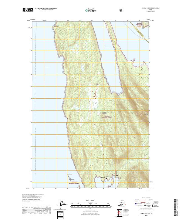
2021 Map of Juneau B-3 SW
USGS Topo · Published 2021About this map
Funter occupies the southern tip of the Mansfield Peninsula, a remote landscape of the Tongass National Forest that separates the deep waters of the Lynn Canal from Barlow Cove. This coastal environment is defined by its sheltered harbors and maritime hazards, featuring landmarks like False Point Retreat to the north and the cluster of Naked Island and Ledge Island at the mouth of Funter Bay. For local historians, the Funter Bay Cem near Coot Cove provides a specific point of genealogical interest within this wilderness. The terrain rises steeply from the shoreline to heights such as Lone Mtn and Green Mtn, while small drainages like Cordwood Cr and Bear Cr carve through the heavily forested interior of the peninsula.
Find a feature on this map
28 named features on this map. Tap any name to fly to it.
Don’t see what you’re looking for? This feature index may not catch every label — zoom into the map to look around manually.
Map Details
Editions of this 2021 Juneau B-3 SW Map
This is the sole edition of this map. No revisions or reprints were ever made.
Other maps of this area

1947 · Juneau B-3
USGS Topo · 1:63,360

1948 · Juneau B-4
USGS Topo · 1:63,360

1948 · Juneau A-3
USGS Topo · 1:63,360

1948 · Juneau A-4
USGS Topo · 1:63,360

1949 · Juneau B-3
USGS Topo · 1:62,500

1949 · Juneau B-4
USGS Topo · 1:63,360

1950 · Juneau A-3
USGS Topo · 1:63,360

1951 · Juneau
USGS Topo · 1:250,000

1962 · Juneau B-3
USGS Topo · 1:63,360

1962 · Juneau
USGS Topo · 1:250,000