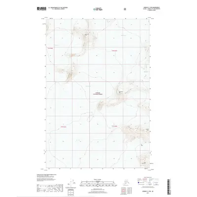
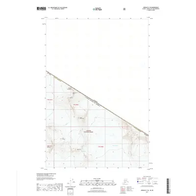
2017 Map of Juneau C-1 NW
USGS Topo · Published 2017About this map
Tongass National Forest dominates this high-altitude coastal landscape, where the massive ice fields of the Coast Mountains shape the terrain. The 2017 survey documents a significant frozen wilderness defined by the vast Taku Glacier and the adjacent Matthes Glacier. These ice flows are punctuated by sharp topographic landmarks such as Centurian Peak in the north and Exploration Peak near the center, providing essential fixed points for glaciologists and climbers navigating the shifting ice. Near the southeastern corner, Vantage Peak overlooks the Icy Basin, a stark collection of glacial features that includes the descriptively named Hole-in-the-Wall Glacier. This map serves as a precise record of these glacial boundaries and mountain elevations at a specific moment in the early 21st century.
Find a feature on this map
13 named features on this map. Tap any name to fly to it.
Don’t see what you’re looking for? This feature index may not catch every label — zoom into the map to look around manually.
Map Details
Editions of this 2017 Juneau C-1 NW Map
This is the sole edition of this map. No revisions or reprints were ever made.
Other maps of this area

1951 · Juneau
USGS Topo · 1:250,000

1960 · Juneau D-1
USGS Topo · 1:63,360

1960 · Juneau C-2
USGS Topo · 1:63,360

1960 · Juneau D-2
USGS Topo · 1:63,360

1960 · Juneau C-1
USGS Topo · 1:63,360

1962 · Juneau
USGS Topo · 1:250,000
1997 · Juneau D-2
USGS Topo · 1:63,360
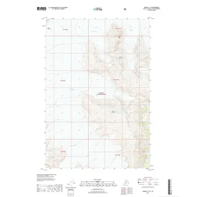
2017 · Juneau C-1 SE
USGS Topo · 1:25,000
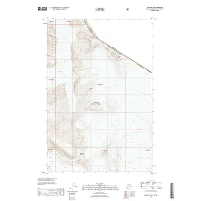
2017 · Juneau D-1 SW
USGS Topo · 1:25,000
2017 · Juneau D-1 SE
USGS Topo · 1:25,000