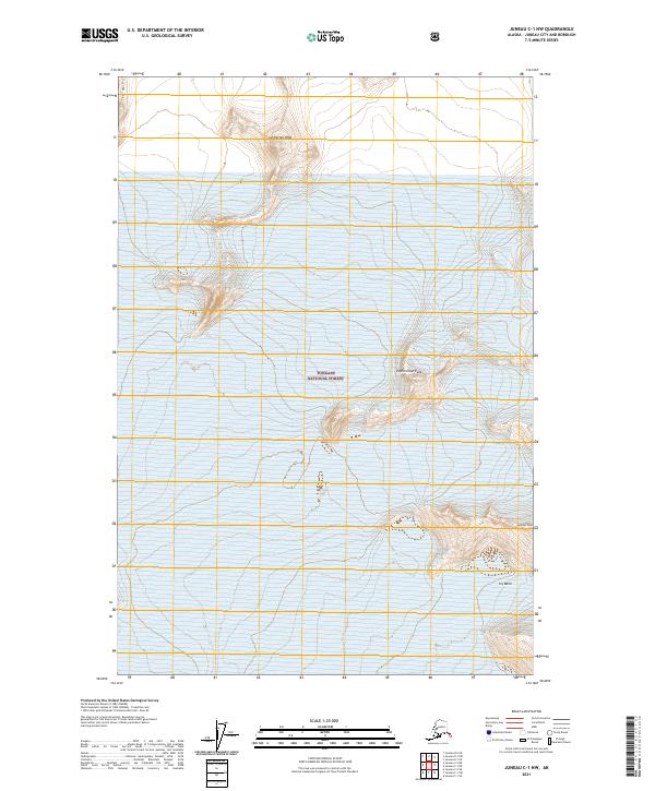
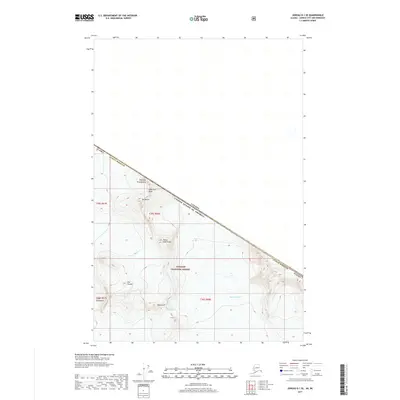
2021 Map of Juneau C-1 NW
USGS Topo · Published 2021About this map
Centurian Peak and Exploration Peak dominate the high-altitude topography of the Tongass National Forest in this 2021 study of the Alaska wilderness. The map focuses on a landscape of extreme vertical relief, where massive geological formations such as The Wall define the horizon. The presence of Icy Basin and Vantage Peak suggests a remote, glaciated environment primarily accessible to mountaineers and specialized backcountry researchers. The lack of roads or established settlements on the sheet underscores the preservation of these coastal mountain ranges, providing a precise record of ice and rock patterns in the Juneau area. The grid is partitioned by township and range markers, including t36s r67e and t37s r68e, which provide the underlying legal structure for these federal lands.
Find a feature on this map
10 named features on this map. Tap any name to fly to it.
Don’t see what you’re looking for? This feature index may not catch every label — zoom into the map to look around manually.
Map Details
Editions of this 2021 Juneau C-1 NW Map
This is the sole edition of this map. No revisions or reprints were ever made.
Other maps of this area

1951 · Juneau
USGS Topo · 1:250,000

1960 · Juneau D-1
USGS Topo · 1:63,360

1960 · Juneau C-2
USGS Topo · 1:63,360

1960 · Juneau D-2
USGS Topo · 1:63,360

1960 · Juneau C-1
USGS Topo · 1:63,360

1962 · Juneau
USGS Topo · 1:250,000
1997 · Juneau D-2
USGS Topo · 1:63,360
2017 · Juneau C-1 SE
USGS Topo · 1:25,000
2017 · Juneau D-1 SW
USGS Topo · 1:25,000
2017 · Juneau D-1 SE
USGS Topo · 1:25,000