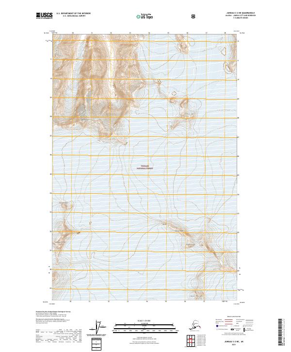
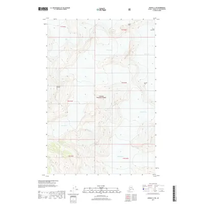
2021 Map of Juneau C-2 NE
USGS Topo · Published 2021About this map
Tongass National Forest dominates this high-altitude landscape in Southeast Alaska, where dramatic relief is defined by prominent summits and ice-fields. The northern terrain is anchored by the Berners Peaks and the massive ridgeline known as The Wall, while the central portion is marked by the heights of Glacier King and Echo Mtn. This 2021 survey illustrates a wilderness nearly devoid of human infrastructure, focusing instead on the complex topography of the Taku Range and the distinctive silhouettes of Tricouni Peak, Snowpatch Crag, and Flower Tower. The map provides a precise record of the vertical environment at the start of the 2020s, showing the relationship between named massifs like Carpet Peak and the surrounding glacial systems that continue to shape this portion of the Alaskan panhandle.
Find a feature on this map
14 named features on this map. Tap any name to fly to it.
Don’t see what you’re looking for? This feature index may not catch every label — zoom into the map to look around manually.
Map Details
Editions of this 2021 Juneau C-2 NE Map
This is the sole edition of this map. No revisions or reprints were ever made.
Other maps of this area

1951 · Juneau
USGS Topo · 1:250,000

1960 · Juneau D-1
USGS Topo · 1:63,360

1960 · Juneau C-2
USGS Topo · 1:63,360

1960 · Juneau D-2
USGS Topo · 1:63,360

1960 · Juneau C-1
USGS Topo · 1:63,360

1962 · Juneau
USGS Topo · 1:250,000
1997 · Juneau D-2
USGS Topo · 1:63,360
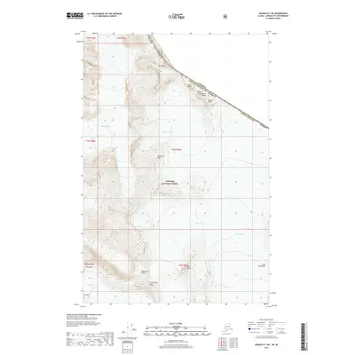
2017 · Juneau D-1 SW
USGS Topo · 1:25,000
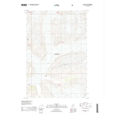
2017 · Juneau D-2 SE
USGS Topo · 1:25,000
2017 · Juneau C-2 SW
USGS Topo · 1:25,000