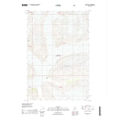
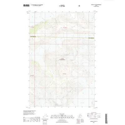
2017 Map of Juneau D-2 SE
USGS Topo · Published 2017About this map
Mt Blachnitzky and the surrounding peaks of the Coast Mountains dominate this high-altitude landscape within the Tongass National Forest. The 2017 survey documents a world defined by massive ice fields and the steep drainages they carve. Glacial movement is visible through several named features, including the Gilkey Glacier in the northeast, Bucher Glacier to the west, and Echo Glacier in the south. The dramatic verticality of the terrain is represented by prominent landmarks like The Wall and the deep cut of Avalanche Canyon. This map serves as a contemporary record of a wilderness where topographical changes are driven primarily by ice and elevation rather than human settlement, preserving the names of the remote physical features that define the Alaska panhandle.
Find a feature on this map
14 named features on this map. Tap any name to fly to it.
Don’t see what you’re looking for? This feature index may not catch every label — zoom into the map to look around manually.
Map Details
Editions of this 2017 Juneau D-2 SE Map
This is the sole edition of this map. No revisions or reprints were ever made.
Other maps of this area

1951 · Juneau
USGS Topo · 1:250,000

1960 · Juneau D-1
USGS Topo · 1:63,360

1960 · Juneau C-2
USGS Topo · 1:63,360

1960 · Juneau D-2
USGS Topo · 1:63,360

1960 · Juneau C-1
USGS Topo · 1:63,360

1962 · Juneau
USGS Topo · 1:250,000
1997 · Juneau D-2
USGS Topo · 1:63,360
2017 · Juneau D-1 SW
USGS Topo · 1:25,000
2017 · Juneau C-2 NW
USGS Topo · 1:25,000
2017 · Juneau D-2 NW
USGS Topo · 1:25,000