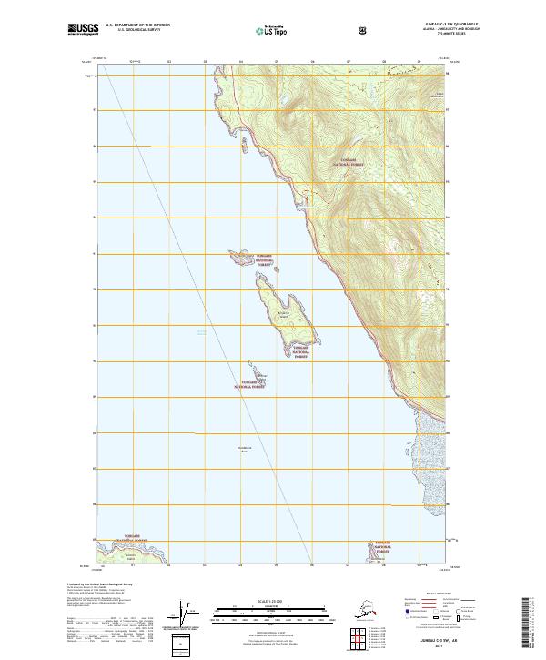
2021 Map of Juneau C-3 SW
USGS Topo · Published 2021About this map
Favorite Channel serves as the dominant waterway in this maritime environment, separating the mainland of the Tongass National Forest from a series of prominent islands. To the east, the steep slopes of the Coast Mountains rise sharply from the shoreline, drained by waterways such as S Fork Cowee Cr, Bessie Cr, and Bridget Cove. This 2021 survey details the intricate coastline where the mainland meets the sea at Yankee Cove, providing clear bathymetric and topographic context for the numerous hazards and landmarks in these coastal waters. A cluster of significant islands, including North Island, Benjamin Island, Sentinel Island, and Lincoln Island, are positioned within the channel. Further offshore, Poundstone Rock and Gull Island indicate the navigational complexities of this passage within the northern reaches of the Alaskan Panhandle.
Find a feature on this map
19 named features on this map. Tap any name to fly to it.
Don’t see what you’re looking for? This feature index may not catch every label — zoom into the map to look around manually.
Map Details
Editions of this 2021 Juneau C-3 SW Map
This is the sole edition of this map. No revisions or reprints were ever made.
Other maps of this area

1947 · Juneau B-3
USGS Topo · 1:63,360

1948 · Juneau B-4
USGS Topo · 1:63,360

1948 · Juneau C-4
USGS Topo · 1:63,360

1949 · Juneau B-3
USGS Topo · 1:62,500

1949 · Juneau C-4
USGS Topo · 1:63,360

1949 · Juneau B-4
USGS Topo · 1:63,360

1951 · Juneau
USGS Topo · 1:250,000

1951 · Juneau C-3
USGS Topo · 1:63,360

1952 · Juneau C-3
USGS Topo · 1:63,360

1962 · Juneau B-3
USGS Topo · 1:63,360