
1950 Map of Juneau C-6
USGS Topo · Published 1968About this map
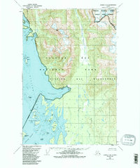
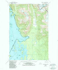
Glacier Bay dominates this coastal landscape, showing the complex archipelago and glacial runoff patterns as they were surveyed in the late 1940s. The map details the intricate Beardslee Islands at the Beardslee Entrance, where features like Spider Island, Kidney Island, and Strawberry Island are separated by narrow channels and tidal flats. Inland, the high peaks of the Chilkat Range, including Miller Peak, overlook the drainage of the Beartrack River and Salmon River.
Find a feature on this map
26 named features on this map. Tap any name to fly to it.
Don’t see what you’re looking for? This feature index may not catch every label — zoom into the map to look around manually.
Map Details
Editions of this 1950 Juneau C-6 Map
3 editions found
Other maps of this area

1948 · Juneau C-5
USGS Topo · 1:63,360

1948 · Juneau B-6
USGS Topo · 1:63,360

1948 · Juneau C-6
USGS Topo · 1:63,360

1948 · Juneau B-5
USGS Topo · 1:63,360

1948 · Mount Fairweather B-1
USGS Topo · 1:63,360

1948 · Mount Fairweather D-1
USGS Topo · 1:63,360

1948 · Mount Fairweather C-1
USGS Topo · 1:63,360

1949 · Mount Fairweather C-1
USGS Topo · 1:63,360

1949 · Juneau D-6
USGS Topo · 1:63,360

1949 · Juneau D-5
USGS Topo · 1:63,360