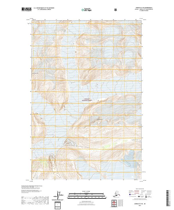
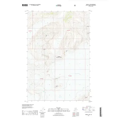
2021 Map of Juneau D-2 SE
USGS Topo · Published 2021About this map
Tongass National Forest covers much of this high-altitude landscape within the Coast Mountains of Southeast Alaska. The terrain is defined by extreme vertical relief and ice-scoured formations, most notably at Mt Blachnitzky and the prominent ridges of Berners Peaks to the southwest. Deeply carved valleys like Avalanche Canyon indicate the powerful glacial processes that continue to shape this portion of the Juneau City and Borough.
Find a feature on this map
12 named features on this map. Tap any name to fly to it.
Don’t see what you’re looking for? This feature index may not catch every label — zoom into the map to look around manually.
Map Details
Editions of this 2021 Juneau D-2 SE Map
This is the sole edition of this map. No revisions or reprints were ever made.
Other maps of this area

1951 · Juneau
USGS Topo · 1:250,000

1960 · Juneau D-1
USGS Topo · 1:63,360

1960 · Juneau C-2
USGS Topo · 1:63,360

1960 · Juneau D-2
USGS Topo · 1:63,360

1960 · Juneau C-1
USGS Topo · 1:63,360

1962 · Juneau
USGS Topo · 1:250,000
1997 · Juneau D-2
USGS Topo · 1:63,360
2017 · Juneau D-1 SW
USGS Topo · 1:25,000
2017 · Juneau D-2 SE
USGS Topo · 1:25,000
2017 · Juneau C-2 NW
USGS Topo · 1:25,000