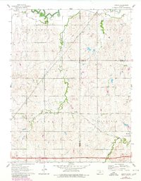
1963 Map of Juniata
USGS Topo · Published 1980About this map
The Saline River winds across the northern edge of this Kansas landscape, defining a terrain shaped by its many tributaries. The area sits at the intersection of Lincoln, Ottawa, and Saline Counties, characterized by the prominent landform of Table Rock and the drainage of Table Rock Creek. Transportation infrastructure is dominated by the Atchison Topeka and Santa Fe railroad, which cuts a diagonal path through the southeastern sections near the community of Glendale.
Find a feature on this map
20 named features on this map. Tap any name to fly to it.
Don’t see what you’re looking for? This feature index may not catch every label — zoom into the map to look around manually.
Map Details
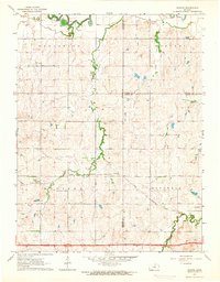
Editions of this 1963 Juniata Map
2 editions found
Other maps of this area

1892 · Salina
USGS Topo · 1:125,000

1892 · Minneapolis
USGS Topo · 1:125,000

1894 · Ellsworth
USGS Topo · 1:125,000

1894 · Beloit
USGS Topo · 1:125,000

1942 · Salina
USGS Topo · 1:125,000

1955 · Brookville
USGS Topo · 1:24,000

1955 · Culver
USGS Topo · 1:24,000

1955 · Manhattan
USGS Topo · 1:250,000

1955 · Great Bend
USGS Topo · 1:250,000

1955 · Hutchinson
USGS Topo · 1:250,000