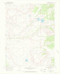
1969 Map of Juniata Reservoir
USGS Topo · Published 1972About this map
The Grand Mesa National Forest dominates the eastern horizon of this high-desert landscape, where a sophisticated network of gravity-fed irrigation supports life on the plateaus. Settled ranching operations like the Cross Bar Cross Ranch rely on a complex system of water management, including the Smith and Campion Ditch and the Juniata Ditch, which redirect flow from mountain sources to the arid lowlands.
Find a feature on this map
31 named features on this map. Tap any name to fly to it.
Don’t see what you’re looking for? This feature index may not catch every label — zoom into the map to look around manually.
Map Details
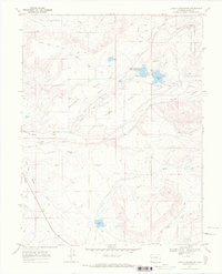
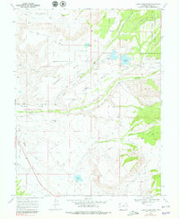
Editions of this 1969 Juniata Reservoir Map
3 editions found
Other maps of this area

1956 · Moab
USGS Topo · 1:250,000

1956 · Grand Junction
USGS Topo · 1:250,000

1959 · Grand Junction
USGS Topo · 1:250,000

1959 · Moab
USGS Topo · 1:250,000

1960 · Moab
USGS Topo · 1:250,000

1960 · Grand Junction
USGS Topo · 1:250,000

1962 · Moab
USGS Topo · 1:250,000

1962 · Grand Junction
USGS Topo · 1:250,000

1962 · Clifton
USGS Topo · 1:24,000
1962 · Lands End
USGS Topo · 1:24,000