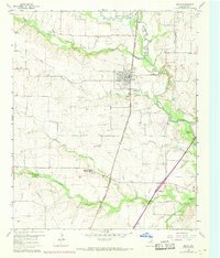
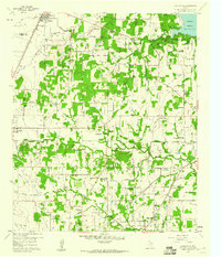
1960 Map of Justin
USGS Topo · Published 1969About this map
The town of Justin serves as the central hub of this north Texas landscape, situated at the junction of the Atchison Topeka and Santa Fe and the Gulf Colorado and Santa Fe railroads. The map documents a rural environment in transition, as agricultural fields are marked by numerous Quarries, Strip Mines, and Gravel Pits that indicate the area's geological utility. This era of development is further highlighted by the Grapevine Reservoir and the presence of the Northwest High Sch situated near the intersection of several local waterways. To the southeast, the historical memory of the region is preserved at the Elizabethtown (Site), where only the Elizabethtown Cem remains alongside the winding Elizabeth Creek. The surrounding prairie is defined by a network of drainage systems including Oliver Creek and Harriet Creek, which carve through the terrain toward the larger Denton Creek.
Find a feature on this map
24 named features on this map. Tap any name to fly to it.
Don’t see what you’re looking for? This feature index may not catch every label — zoom into the map to look around manually.
Map Details
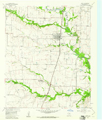
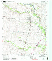
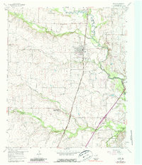
Editions of this 1960 Justin Map
4 editions found
Other maps of this area

1894 · Fort Worth
USGS Topo · 1:125,000

1931 · Grapevine
USGS Topo · 1:62,500

1954 · Dallas
USGS Topo · 1:250,000

1954 · Sherman
USGS Topo · 1:250,000

1955 · Avondale
USGS Topo · 1:24,000

1955 · Keller
USGS Topo · 1:24,000

1955 · Haltom City
USGS Topo · 1:62,500

1958 · Dallas
USGS Topo · 1:250,000

1958 · Sherman
USGS Topo · 1:250,000
1959 · Colleyville
USGS Topo · 1:24,000