
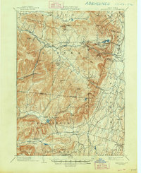
1903 Map of Kaaterskill
USGS Topo · Published 1906About this map
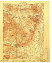
Mountain House stands prominently atop the Escarpment, overlooking the Hudson Valley as a center of early tourism. This 1903 survey records a landscape defined by dramatic verticality and the specialized infrastructure built to conquer it, most notably the Otis Elevating R.R. and the winding lines of the Ulster and Delaware R.R. and Catskill Mountain R.R. These rails brought visitors to exclusive enclaves like Onteora Park, Twilight Park, and Elka Park.
Find a feature on this map
83 named features on this map. Tap any name to fly to it.
Don’t see what you’re looking for? This feature index may not catch every label — zoom into the map to look around manually.
Map Details
Editions of this 1903 Kaaterskill Map
10 editions found
1906 edition
16.6 x 20.1 inches
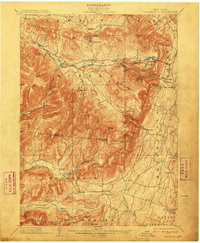
1908 edition
16.6 x 20.1 inches
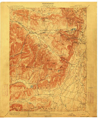
1910 edition
16.5 x 20.1 inches
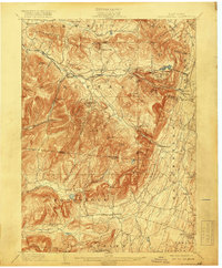
1913 edition
16.6 x 20.1 inches
1919 edition
16.6 x 20.1 inches
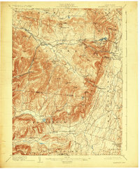
1924 edition
16.6 x 20.1 inches
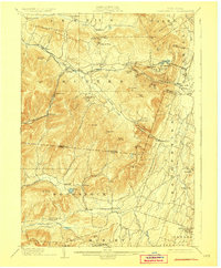
1928 edition
16.6 x 20.1 inches
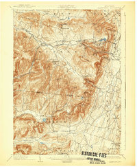
1932 edition
16.6 x 20.1 inches
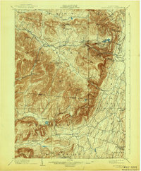
1943 edition
16.6 x 20.1 inches
1948 edition
17.1 x 20.9 inches
Other maps of this area

1892 · Kaaterskill
USGS Topo · 1:62,500

1893 · Kaaterskill
USGS Topo · 1:62,500

1893 · Coxsackie
USGS Topo · 1:62,500

1893 · Durham
USGS Topo · 1:62,500

1894 · Coxsackie
USGS Topo · 1:62,500

1894 · Kaaterskill
USGS Topo · 1:62,500

1894 · Durham
USGS Topo · 1:62,500

1895 · Catskill
USGS Topo · 1:62,500

1898 · Rhinebeck
USGS Topo · 1:62,500

1899 · Kaaterskill
USGS Topo · 1:62,500