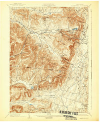
1903 Map of Kaaterskill
USGS Topo · Published 1932About this map
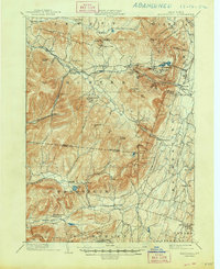
Woodstock and Tannersville anchor this study of the eastern Catskills at the turn of the century, a landscape defined by its transition from a mountain wilderness to a premiere resort destination. The iconic Mountain House sits perched above Palenville, accessible via the steep grade of the Otis Elevating Rr, while private enclaves like Twilight Park and Onteora Park illustrate the era's developing seasonal communities. The rail network of the U. & D. R. R. serves the high peaks, meeting the Kaaterskill branch at Kaaterskill Junction. Beyond the luxury hotels, the map documents a working rural landscape of post offices and small settlements such as Platt Clove P.O. and Wittenberg P.O.. High elevation features like Hunter Mt. and High Peak loom over the Stony Clove pass, while the headwaters of Schoharie Creek and Kaaterskill Creek carve the deep ravines that drew early tourists to landmarks like Kaaterskill Falls.
Find a feature on this map
86 named features on this map. Tap any name to fly to it.
Don’t see what you’re looking for? This feature index may not catch every label — zoom into the map to look around manually.
Map Details
Editions of this 1903 Kaaterskill Map
10 editions found

1906 edition
16.6 x 20.1 inches
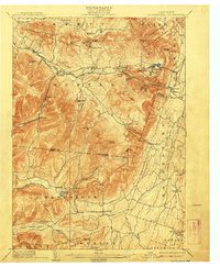
1908 edition
16.6 x 20.1 inches
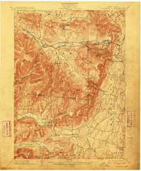
1910 edition
16.5 x 20.1 inches
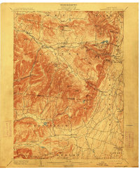
1913 edition
16.6 x 20.1 inches
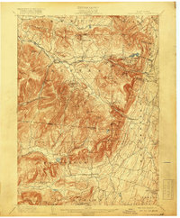
1919 edition
16.6 x 20.1 inches
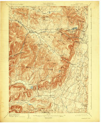
1924 edition
16.6 x 20.1 inches
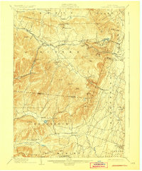
1928 edition
16.6 x 20.1 inches
1932 edition
16.6 x 20.1 inches
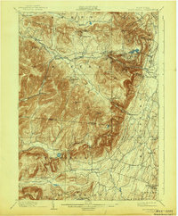
1943 edition
16.6 x 20.1 inches
1948 edition
17.1 x 20.9 inches
Other maps of this area

1892 · Kaaterskill
USGS Topo · 1:62,500

1893 · Kaaterskill
USGS Topo · 1:62,500

1893 · Coxsackie
USGS Topo · 1:62,500

1893 · Durham
USGS Topo · 1:62,500

1894 · Coxsackie
USGS Topo · 1:62,500

1894 · Kaaterskill
USGS Topo · 1:62,500

1894 · Durham
USGS Topo · 1:62,500

1895 · Catskill
USGS Topo · 1:62,500

1898 · Rhinebeck
USGS Topo · 1:62,500

1899 · Kaaterskill
USGS Topo · 1:62,500