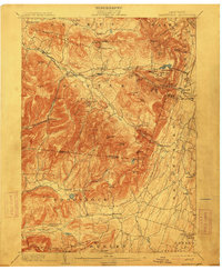
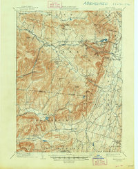
1903 Map of Kaaterskill
USGS Topo · Published 1913About this map
Tannersville and Haines Falls anchor a landscape dominated by the high peaks and deep cloves of the eastern Catskills at the turn of the century. This survey records an era of mountain resort expansion, featuring established enclaves like Onteora Park, Twilight Park, and Elka Park, alongside the famous Mountain House perched near North Lake. The complex transport network of the day is visible through the Ulster and Delaware R.R. and the Catskill Mountain R.R., which funneled visitors into the heights. Notable topographic features such as Stony Clove, Kaaterskill Falls, and Sleepy Hollow define the area's geography. To the south, the map transitions from these high summits toward the valleys of Woodstock and Bearsville, showing numerous small settlements like Lake Hill and Shady that supported the local mountain economy before modern development transformed the region.
Find a feature on this map
86 named features on this map. Tap any name to fly to it.
Don’t see what you’re looking for? This feature index may not catch every label — zoom into the map to look around manually.
Map Details
Editions of this 1903 Kaaterskill Map
10 editions found

1906 edition
16.6 x 20.1 inches
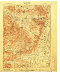
1908 edition
16.6 x 20.1 inches
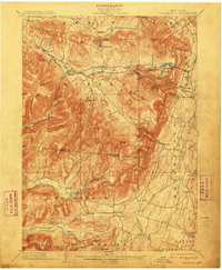
1910 edition
16.5 x 20.1 inches
1913 edition
16.6 x 20.1 inches
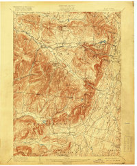
1919 edition
16.6 x 20.1 inches
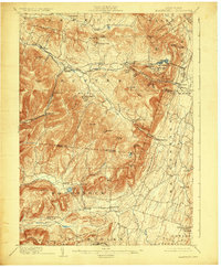
1924 edition
16.6 x 20.1 inches
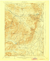
1928 edition
16.6 x 20.1 inches
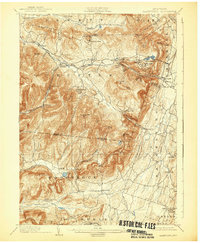
1932 edition
16.6 x 20.1 inches
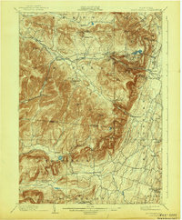
1943 edition
16.6 x 20.1 inches
1948 edition
17.1 x 20.9 inches
Other maps of this area

1892 · Kaaterskill
USGS Topo · 1:62,500

1893 · Kaaterskill
USGS Topo · 1:62,500

1893 · Coxsackie
USGS Topo · 1:62,500

1893 · Durham
USGS Topo · 1:62,500

1894 · Coxsackie
USGS Topo · 1:62,500

1894 · Kaaterskill
USGS Topo · 1:62,500

1894 · Durham
USGS Topo · 1:62,500

1895 · Catskill
USGS Topo · 1:62,500

1898 · Rhinebeck
USGS Topo · 1:62,500

1899 · Kaaterskill
USGS Topo · 1:62,500