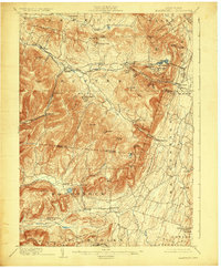
1903 Map of Kaaterskill
USGS Topo · Published 1924About this map
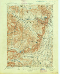
The famed Mountain House stands as a landmark of Gilded Age Catskill leisure on this 1903 survey, overlooking the steep eastern escarpment where the Otis Elevating R.R. climbs toward North Mountain. The landscape is defined by the deep incisions of Kaaterskill Clove and Stony Clove Brook, which dictate the paths of early industrial transport like the Ulster and Delaware R.R.. High-altitude resort communities such as Onteora Park and Twilight Park represent a shift toward seasonal tourism, while the rural interior is dotted with remote outposts like Platt Clove P.O. and Wittenberg P.O. Yankeetown.
Find a feature on this map
81 named features on this map. Tap any name to fly to it.
Don’t see what you’re looking for? This feature index may not catch every label — zoom into the map to look around manually.
Map Details
Editions of this 1903 Kaaterskill Map
10 editions found

1906 edition
16.6 x 20.1 inches
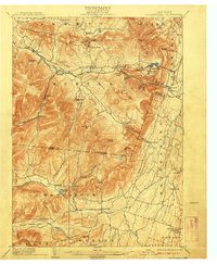
1908 edition
16.6 x 20.1 inches
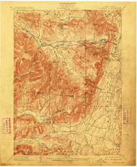
1910 edition
16.5 x 20.1 inches
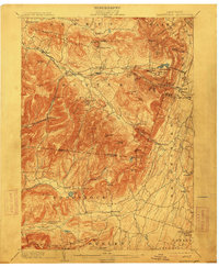
1913 edition
16.6 x 20.1 inches
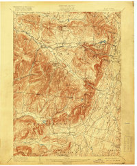
1919 edition
16.6 x 20.1 inches
1924 edition
16.6 x 20.1 inches
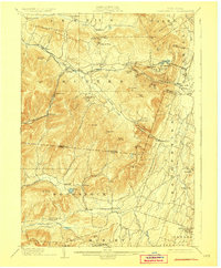
1928 edition
16.6 x 20.1 inches
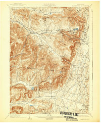
1932 edition
16.6 x 20.1 inches
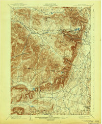
1943 edition
16.6 x 20.1 inches
1948 edition
17.1 x 20.9 inches
Other maps of this area

1892 · Kaaterskill
USGS Topo · 1:62,500

1893 · Kaaterskill
USGS Topo · 1:62,500

1893 · Coxsackie
USGS Topo · 1:62,500

1893 · Durham
USGS Topo · 1:62,500

1894 · Coxsackie
USGS Topo · 1:62,500

1894 · Kaaterskill
USGS Topo · 1:62,500

1894 · Durham
USGS Topo · 1:62,500

1895 · Catskill
USGS Topo · 1:62,500

1898 · Rhinebeck
USGS Topo · 1:62,500

1899 · Kaaterskill
USGS Topo · 1:62,500