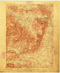
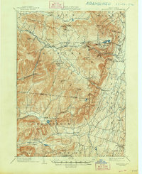
1903 Map of Kaaterskill
USGS Topo · Published 1910About this map
Tannersville and Haines Falls serve as high-altitude hubs in this turn-of-the-century portrait of the northern Catskill region. The landscape is defined by its early resort culture, visible through the inclusion of Twilight Park, Onteora Park, and the famous Mountain House perched near North Lake. This era represents a peak for mountain tourism and transit, illustrated by the engineering of the Otis Elevating R. R. and the winding route of the Ulster and Delaware R. R. as it navigates the steep grades of Stony Clove.
Find a feature on this map
77 named features on this map. Tap any name to fly to it.
Don’t see what you’re looking for? This feature index may not catch every label — zoom into the map to look around manually.
Map Details
Editions of this 1903 Kaaterskill Map
10 editions found

1906 edition
16.6 x 20.1 inches
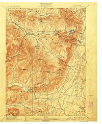
1908 edition
16.6 x 20.1 inches
1910 edition
16.5 x 20.1 inches
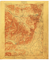
1913 edition
16.6 x 20.1 inches
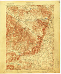
1919 edition
16.6 x 20.1 inches
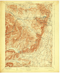
1924 edition
16.6 x 20.1 inches
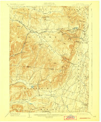
1928 edition
16.6 x 20.1 inches
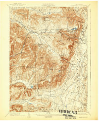
1932 edition
16.6 x 20.1 inches
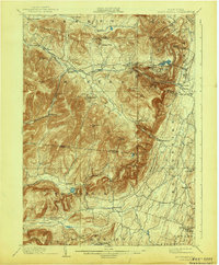
1943 edition
16.6 x 20.1 inches
1948 edition
17.1 x 20.9 inches
Other maps of this area

1892 · Kaaterskill
USGS Topo · 1:62,500

1893 · Kaaterskill
USGS Topo · 1:62,500

1893 · Coxsackie
USGS Topo · 1:62,500

1893 · Durham
USGS Topo · 1:62,500

1894 · Coxsackie
USGS Topo · 1:62,500

1894 · Kaaterskill
USGS Topo · 1:62,500

1894 · Durham
USGS Topo · 1:62,500

1895 · Catskill
USGS Topo · 1:62,500

1898 · Rhinebeck
USGS Topo · 1:62,500

1899 · Kaaterskill
USGS Topo · 1:62,500