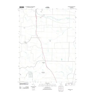
2012 Map of Kahoka SE
USGS Topo · Published 2012About this map
The Winchester community serves as the primary hub in this rural Clark County landscape, where the Fox River and Honey Creek wind through the northeast. A network of smaller waterways like Sugar Creek, Big Branch, and Buck Run drain the surrounding fields, suggesting the agricultural character of the region. The map preserves the locations of several burial grounds, including Saint Patrick Cemetery, Mount Zion Cemetery, Frazee Cemetery, Weaver Cemetery, and Morris Cemetery, which provide essential landmarks for genealogical research and local history.
Find a feature on this map
23 named features on this map. Tap any name to fly to it.
Don’t see what you’re looking for? This feature index may not catch every label — zoom into the map to look around manually.
Map Details
Editions of this 2012 Kahoka SE Map
This is the sole edition of this map. No revisions or reprints were ever made.
Other maps of this area

1903 · Kahoka
USGS Topo · 1:125,000

1936 · Keokuk
USGS Topo · 1:62,500

1946 · Mendon
USGS Topo · 1:62,500

1948 · Mendon
USGS Topo · 1:62,500

1949 · Wayland
USGS Topo · 1:24,000

1949 · Kahoka SE
USGS Topo · 1:24,000

1949 · Kahoka
USGS Topo · 1:24,000

1949 · St. Patrick
USGS Topo · 1:24,000

1950 · Kahoka
USGS Topo · 1:24,000

1950 · Saint Patrick
USGS Topo · 1:24,000