
1918 Map of Kalamazoo
USGS Topo · Published 1918About this map
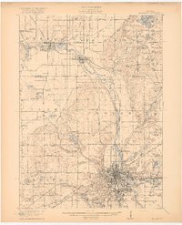
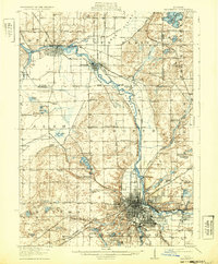
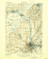
Kalamazoo stands as a burgeoning industrial and transit hub at the confluence of several major rail lines, including the Michigan Central RR and the Grand Rapids and Indiana RR. The 1918 landscape is defined by the winding course of the Kalamazoo River, which powers the Otsego Dam and flows past the growing riverfront settlements of Plainwell and Parchment. The area west of the city transition into the varied terrain of Gun Plain, where numerous small lakes like Twin Lake and Rupert Lake dot the countryside.
Find a feature on this map
115 named features on this map. Tap any name to fly to it.
Don’t see what you’re looking for? This feature index may not catch every label — zoom into the map to look around manually.
Map Details
Editions of this 1918 Kalamazoo Map
4 editions found
Other maps of this area

1916 · Kalamazoo
USGS Topo · 1:62,500

1918 · Galesburg
USGS Topo · 1:62,500

1918 · Leonidas
USGS Topo · 1:62,500

1922 · Schoolcraft
USGS Topo · 1:62,500

1943 · Kalamazoo
USGS Topo · 1:62,500

1943 · Schoolcraft
USGS Topo · 1:62,500

1944 · Leonidas
USGS Topo · 1:62,500

1944 · Galesburg
USGS Topo · 1:62,500

1944 · Marcellus
USGS Topo · 1:62,500

1946 · Marcellus
USGS Topo · 1:62,500