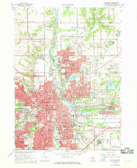
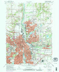
1967 Map of Kalamazoo
USGS Topo · Published 1969About this map
The Kalamazoo River carves a deep path through this Michigan landscape, anchoring a dense network of educational and medical institutions during the late 1960s. Western Michigan University and Kalamazoo College dominate the western hills, while the expansive grounds of the Kalamazoo State Hospital and major facilities like Borgess Hospital define the city's civic core. The industrial and transportation legacy of the era is evident in the Penn Central rail lines and various industrial sites, including a refinery and numerous gravel pits that pock the northern reaches of Cooper.
Find a feature on this map
136 named features on this map. Tap any name to fly to it.
Don’t see what you’re looking for? This feature index may not catch every label — zoom into the map to look around manually.
Map Details
Editions of this 1967 Kalamazoo Map
5 editions found
Other maps of this area

1916 · Kalamazoo
USGS Topo · 1:62,500

1918 · Kalamazoo
USGS Topo · 1:62,500

1918 · Galesburg
USGS Topo · 1:62,500

1918 · Leonidas
USGS Topo · 1:62,500

1922 · Schoolcraft
USGS Topo · 1:62,500

1943 · Kalamazoo
USGS Topo · 1:62,500

1943 · Schoolcraft
USGS Topo · 1:62,500

1944 · Leonidas
USGS Topo · 1:62,500

1944 · Galesburg
USGS Topo · 1:62,500

1947 · Delton
USGS Topo · 1:24,000
Featured Places
- Kalamazoo, MI
- Parchment, MI
- Comstock Charter Township, MI
- Kalamazoo Charter Township, MI
- Richland Township, MI