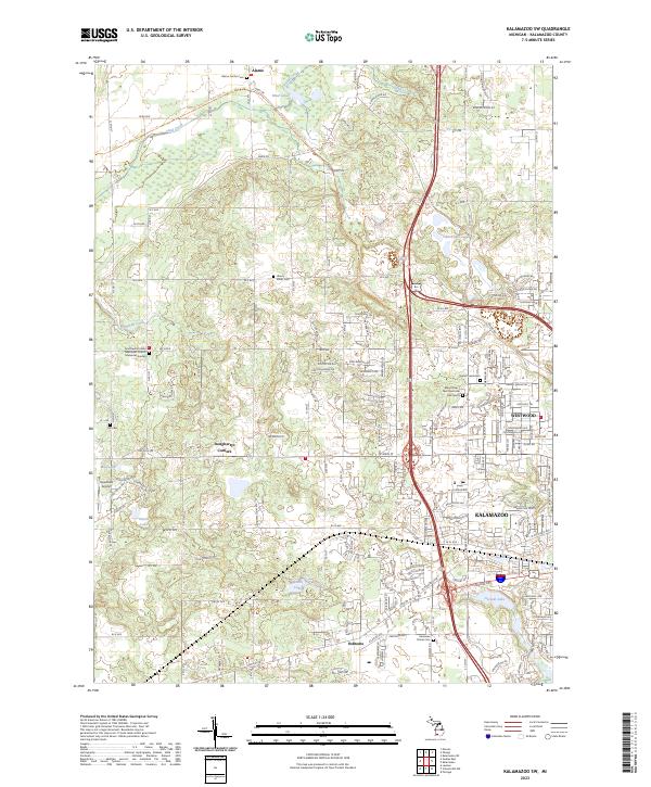
2023 Map of Kalamazoo SW
USGS Topo · Published 2023About this map
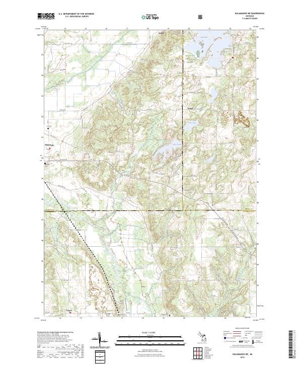
The settlement of Alamo and the outlying western reaches of Kalamazoo define this portion of the Michigan landscape. This survey reveals a transition from the agricultural and wooded uplands of the Owen Hills to the developing suburban tracts of Westwood. Significant genealogical resources are scattered throughout the region, including several historic burial grounds such as Alamo Center Cem, Liberty Street Cem, and Genesee Prairie Cem. The transportation corridor is marked by the Kal-haven Trail State Park Trl, which follows a former rail alignment through the northern sections near Sand Creek. Water features like Asylum Lake and South Lake punctuate the southern half, while the presence of Newmans Airport and Doughertys Corners indicates the varied infrastructure of this 21st-century landscape.
Find a feature on this map
62 named features on this map. Tap any name to fly to it.
Don’t see what you’re looking for? This feature index may not catch every label — zoom into the map to look around manually.
Map Details
Editions of this 2023 Kalamazoo SW Map
This is the sole edition of this map. No revisions or reprints were ever made.
Historical Maps of Kalamazoo Through Time
12 maps found
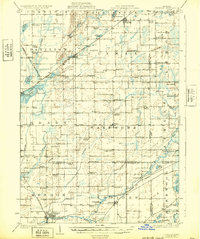
1918 Leonidas
Kalamazoo County, MI

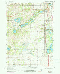
1944 Leonidas
Kalamazoo County, MI

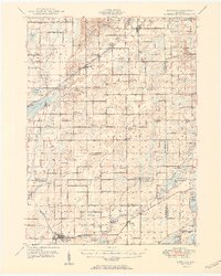
1947 Leonidas
Kalamazoo County, MI
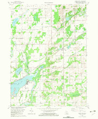
1950 Leonidas
Kalamazoo County, MI
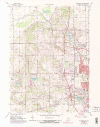
1967 Kalamazoo NE
Kalamazoo County, MI
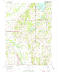
1967 Kalamazoo SW
Kalamazoo County, MI
1967 Schoolcraft NW
Kalamazoo County, MI
1982 Adams Park
Kalamazoo County, MI
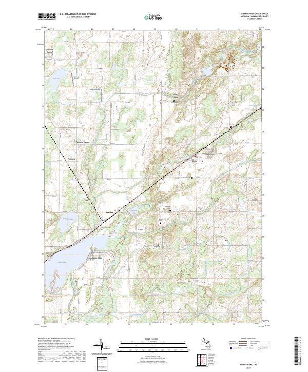
2023 Adams Park
Kalamazoo County, MI
2023 Kalamazoo NE
Kalamazoo County, MI
2023 Kalamazoo SW
Kalamazoo County, MI

2023 Schoolcraft NW
Kalamazoo County, MI
Featured Locations
- Alamo Township, MI
- Cooper Charter Township, MI
- Kalamazoo, MI
- Kalamazoo Charter Township, MI
- Doughertys Corners, Oshtemo Charter Township