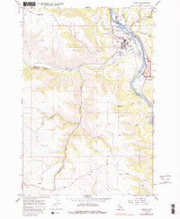
1967 Map of Kamiah
USGS Topo · Published 1986About this map
The Clearwater River winds through this 1960s landscape, serving as a primary corridor for the Camas Prairie railroad and local transportation. The town of Kamiah occupies the river terrace, supported by a network of infrastructure including a Gaging Station, Water Tanks, and Sewage Disposal Ponds. This period of development is characterized by the presence of a Trailer Park and a Substation near the river bend, while the higher elevations show the agricultural and natural transition into the surrounding draws and plateaus.
Find a feature on this map
27 named features on this map. Tap any name to fly to it.
Don’t see what you’re looking for? This feature index may not catch every label — zoom into the map to look around manually.
Map Details
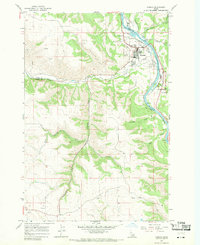
Editions of this 1967 Kamiah Map
2 editions found
Other maps of this area

1924 · Kamiah
USGS Topo · 1:125,000

1924 · Weippe
USGS Topo · 1:125,000

1955 · Pullman
USGS Topo · 1:250,000

1956 · Hamilton
USGS Topo · 1:250,000

1958 · Pullman
USGS Topo · 1:250,000

1959 · Hamilton
USGS Topo · 1:250,000

1960 · Hamilton
USGS Topo · 1:250,000

1964 · Hamilton
USGS Topo · 1:250,000

1966 · Kooskia
USGS Topo · 1:24,000
1966 · Stites
USGS Topo · 1:24,000