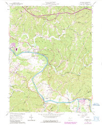
1957 Map of Kanawha
USGS Topo · Published 1989About this map
The Little Kanawha River meanders through Wood County, carving deep bends like Butcher Bend while serving as a central corridor for rural settlement in the mid-20th century. This area is characterized by a high density of community centers, including Vaught Chapel, Kanawha Chapel, and the Leachtown Schs. The map reveals the intricate network of the oil and gas industry, with numerous Oil Wells peppered across the ridges and along the Stillwell Creek drainage. Local social and agricultural life is anchored by the 4-H Camp and the Butcher Hill Hunt Club, illustrating a landscape shaped by both natural resources and local recreation. The confluence of the Little Kanawha River and the Hughes River near Leachtown marks a significant hydrological junction in the southeastern quadrant.
Find a feature on this map
70 named features on this map. Tap any name to fly to it.
Don’t see what you’re looking for? This feature index may not catch every label — zoom into the map to look around manually.
Map Details
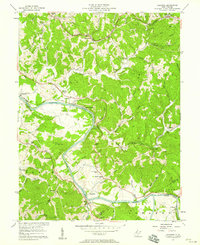
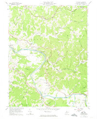
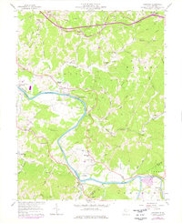
Editions of this 1957 Kanawha Map
4 editions found
Other maps of this area

1902 · Parkersburg
USGS Topo · 1:62,500

1904 · Parkersburg
USGS Topo · 1:62,500

1904 · Marietta
USGS Topo · 1:62,500

1906 · Elizabeth
USGS Topo · 1:62,500

1906 · Belleville
USGS Topo · 1:62,500

1924 · Belleville
USGS Topo · 1:62,500

1924 · Marietta
USGS Topo · 1:62,500

1924 · Elizabeth
USGS Topo · 1:62,500

1926 · Elizabeth
USGS Topo · 1:62,500

1926 · Belleville
USGS Topo · 1:62,500