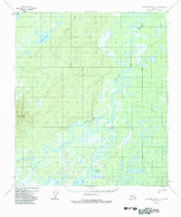
1952 Map of Kantishna River A-2
USGS Topo · Published 1983About this map
The Kantishna River meanders across this subarctic landscape, defining a complex network of waterways including Folger Slough and Chitsia Creek. The presence of the Bearpaw Cabins near the river bank suggests a seasonal or subsistence-based settlement pattern, typical of the interior during the mid-20th century. Terrain varies from the wetland environments of the Alma Lakes and Mucha Lake to the prominent rise of Bearpaw Mountain in the west.
Find a feature on this map
10 named features on this map. Tap any name to fly to it.
Don’t see what you’re looking for? This feature index may not catch every label — zoom into the map to look around manually.
Map Details
Editions of this 1952 Kantishna River A-2 Map
4 editions found
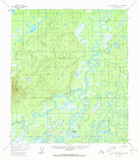
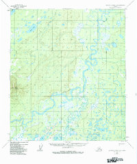
Other maps of this area

1948 · Kantishna River
USGS Topo · 1:250,000

1951 · Kantishna River
USGS Topo · 1:250,000

1951 · Mount McKinley D-1
USGS Topo · 1:63,360

1952 · Mount McKinley
USGS Topo · 1:250,000

1952 · Kantishna River A-3
USGS Topo · 1:63,360

1952 · Kantishna River A-1
USGS Topo · 1:63,360

1952 · Kantishna River
USGS Topo · 1:250,000

1952 · Kantishna River A-2
USGS Topo · 1:63,360

1952 · Kantishna River B-1
USGS Topo · 1:63,360

1952 · Mount McKinley D-3
USGS Topo · 1:63,360