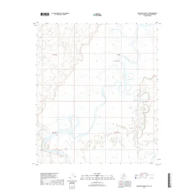
2017 Map of Kantishna River B-1 NW
USGS Topo · Published 2017About this map
Kantishna River meanders across this vast interior landscape, defining a complex network of wetlands and oxbows within the Yukon-Koyukuk Census Area. This remote region, characterized by the convergence of major glacial and tundra-fed waterways, features the northern reaches of the Toklat River as it joins the primary drainage. The small settlement of Toklat serves as the lone named point of human habitation in this wilderness, situated along the riverbank near where Clear Cr enters the system. The map provides a detailed view of the shifting alluvial plains and the dense concentration of small ponds and marshes that dictate movement through this subarctic environment. Topographic contours reveal the subtle elevation changes of the river valley, set against the broader backdrop of the Alaskan interior as it appeared in the early 21st century.
Find a feature on this map
8 named features on this map. Tap any name to fly to it.
Don’t see what you’re looking for? This feature index may not catch every label — zoom into the map to look around manually.
Map Details
Editions of this 2017 Kantishna River B-1 NW Map
This is the sole edition of this map. No revisions or reprints were ever made.
Other maps of this area

1948 · Kantishna River
USGS Topo · 1:250,000

1951 · Kantishna River
USGS Topo · 1:250,000

1952 · Kantishna River C-1
USGS Topo · 1:63,360

1952 · Kantishna River
USGS Topo · 1:250,000

1952 · Kantishna River B-1
USGS Topo · 1:63,360

1953 · Kantishna River B-2
USGS Topo · 1:63,360
1953 · Kantishna River C-2
USGS Topo · 1:63,360
1954 · Kantishna River C-2
USGS Topo · 1:63,360

1964 · Kantishna River
USGS Topo · 1:250,000
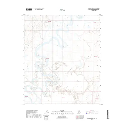
2017 · Kantishna River C-1 SE
USGS Topo · 1:25,000