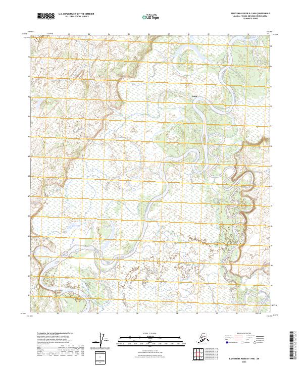
2024 Map of Kantishna River B-1 NW
USGS Topo · Published 2024About this map
The Kantishna River and Toklat River dominate this interior Alaskan landscape, where the braided channels and oxbows characteristic of the Yukon-Koyukuk region define the terrain. The small settlement of Toklat is situated near the northern convergence of these massive waterways, serving as a rare point of human activity in an area otherwise marked by extensive wetlands and shifting riverbeds. Detailed surveying by the U.S. Geological Survey reveals the complex drainage patterns of Clear Creek, illustrating the dynamic nature of the subarctic floodplain. This map provides a clear record of the riverine environment and the remote township divisions of T5S R15W, T5S R14W, T6S R15W, and T6S R14W.
Find a feature on this map
8 named features on this map. Tap any name to fly to it.
Don’t see what you’re looking for? This feature index may not catch every label — zoom into the map to look around manually.
Map Details
Editions of this 2024 Kantishna River B-1 NW Map
This is the sole edition of this map. No revisions or reprints were ever made.
Other maps of this area

1948 · Kantishna River
USGS Topo · 1:250,000

1951 · Kantishna River
USGS Topo · 1:250,000

1952 · Kantishna River C-1
USGS Topo · 1:63,360

1952 · Kantishna River
USGS Topo · 1:250,000

1952 · Kantishna River B-1
USGS Topo · 1:63,360

1953 · Kantishna River B-2
USGS Topo · 1:63,360
1953 · Kantishna River C-2
USGS Topo · 1:63,360
1954 · Kantishna River C-2
USGS Topo · 1:63,360

1964 · Kantishna River
USGS Topo · 1:250,000
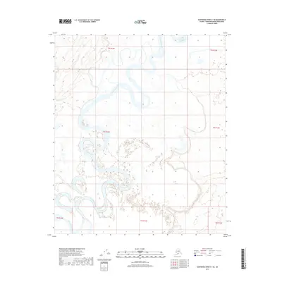
2017 · Kantishna River C-1 SE
USGS Topo · 1:25,000